Transport Functions
Rail
Road
Hub Profile
Place type
Populated place
Region
Ontario
Time zone
America/Toronto
Elevation
336 m
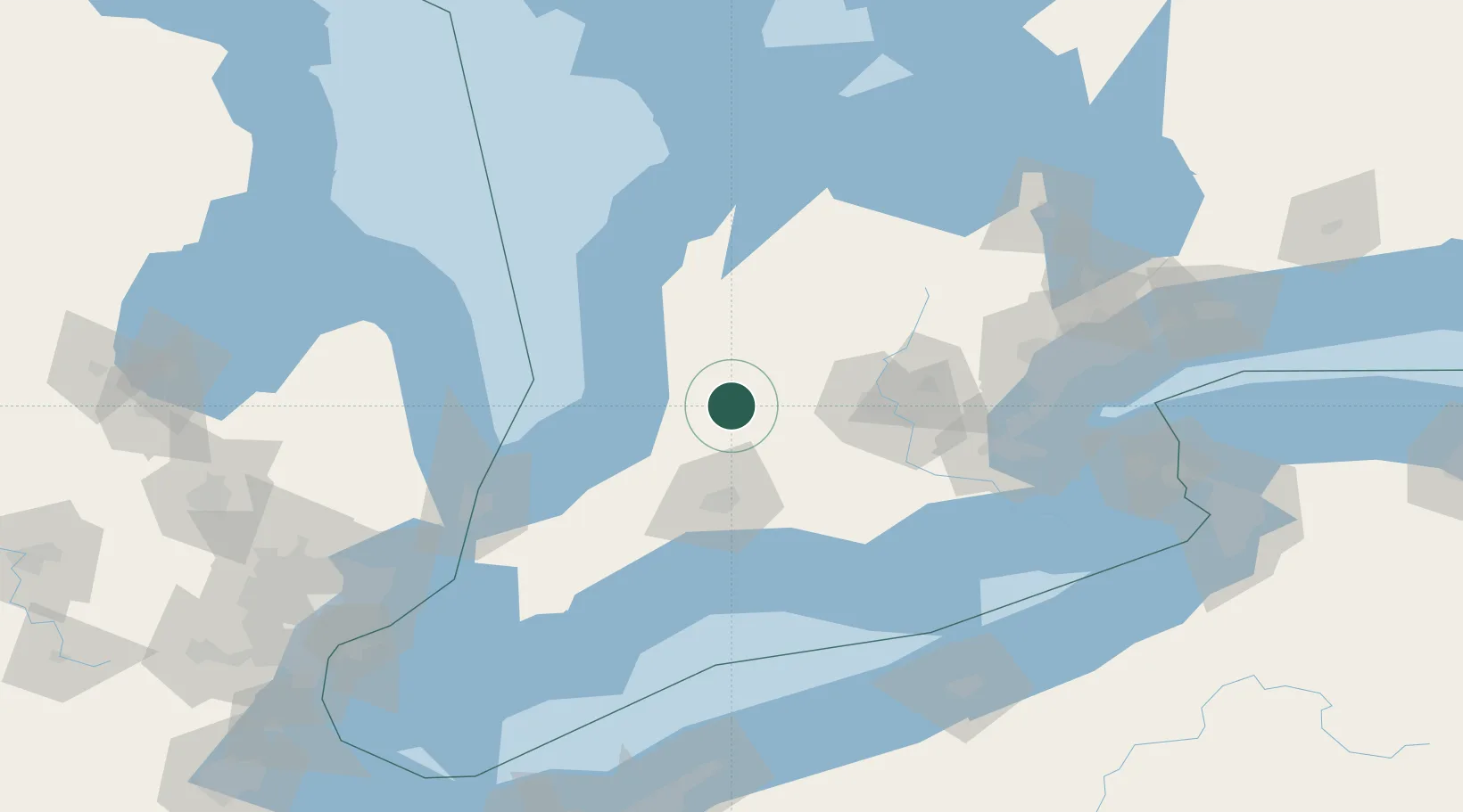
Location
Nearby Logistics Neighbours
Cities
- 1Dublin9 km
- 2Sebringville12 km
- 3Saint-Pauls-Station18 km
- 4Saint-Marys23 km
- 5Milverton25 km
Ports
- 1Goderich54 km
- 2Port Stanley87 km
- 3Port Dover110 km
- 4Port Elgin111 km
- 5Point Edward111 km
Airports
Trade Zones
- 1FTZ No. 210 St. Clair County128 km
- 2FTZ No. 034 Niagara County169 km
- 3FTZ No. 247 Erie173 km
- 4Niagara Foreign Trade Zone179 km
- 5Windsor - Essex Foreign Trade Zone195 km
DatabookThe Record of Consolidated Knowledge
Canada beyond logistics?