UN/LOCODE hub · Canada
CABRF

Brucefield

43.5167°, -81.5000°
1
Transport functions

Transport Functions

Multimodal
UN/LOCODE

Hub Profile

Region
ON
GeoNames

Location

Location of CABRF
Natural Earth 10m (public domain) · ON · CABRF · 43.52, -81.50GoogleOSMYandex

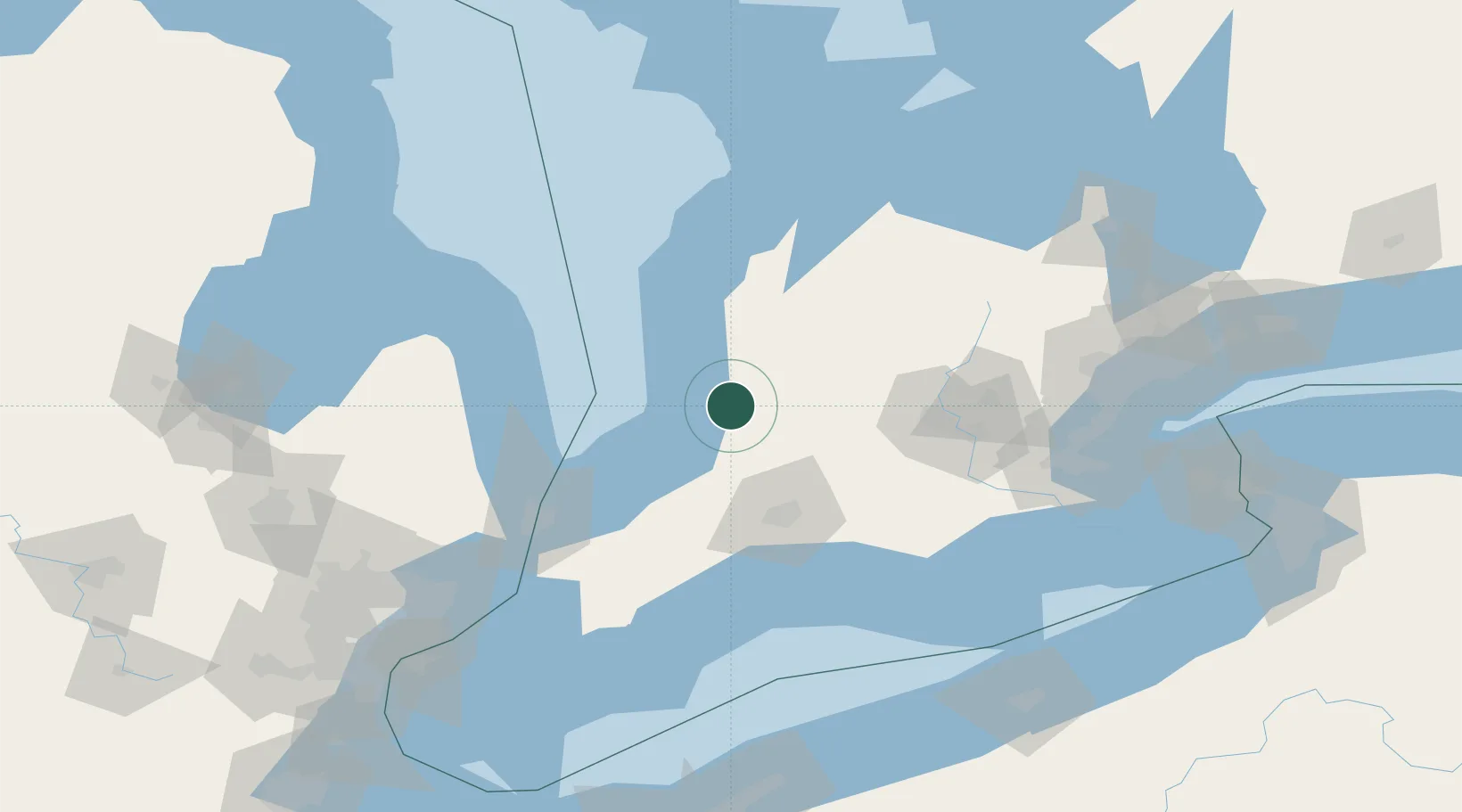
Nearby Logistics Neighbours

Cities
  1. 1Bayfield17 km
  2. 2Dublin18 km
  3. 3Walton25 km
  4. 4Mitchell25 km
  5. 5Sebringville37 km
Nearest neighbours — logibook spatial index (haversine) over the source coordinates
Ports
  1. 1Goderich32 km
  2. 2Point Edward94 km
  3. 3Port Huron95 km
  4. 4Sarnia95 km
  5. 5Port Stanley98 km
Nearest neighbours — logibook spatial index (haversine) over the source coordinates
Airports
  1. 1Centralia / James T. Field Memorial Aerodrome26 km
  2. 2Goderich Airport33 km
  3. 3London International Airport61 km
  4. 4Kincardine Municipal Airport77 km
  5. 5Chris Hadfield Airport87 km
Nearest neighbours — logibook spatial index (haversine) over the source coordinates
Trade Zones
  1. 1FTZ No. 210 St. Clair County113 km
  2. 2Windsor - Essex Foreign Trade Zone182 km
  3. 3FTZ No. 070 Detroit192 km
  4. 4FTZ No. 140 Flint192 km
  5. 5FTZ No. 247 Erie193 km
Nearest neighbours — logibook spatial index (haversine) over the source coordinates
DatabookThe Record of Consolidated Knowledge
Canada beyond logistics?
Browse databook

All Sources

LocationsUN/LOCODE
UN/LOCODE — free
Portsthe NGA World Port Index
Public domain (US gov)
AirportsOurAirports
Public domain
Trade Zonesthe World Bank SEZ database
CC BY 4.0
Trade ZonesOpen Zone Map
CC BY
← Canada locations