Transport Functions
Rail
Road
Hub Profile
Place type
Populated place
Region
Ontario
Time zone
America/Toronto
Elevation
209 m
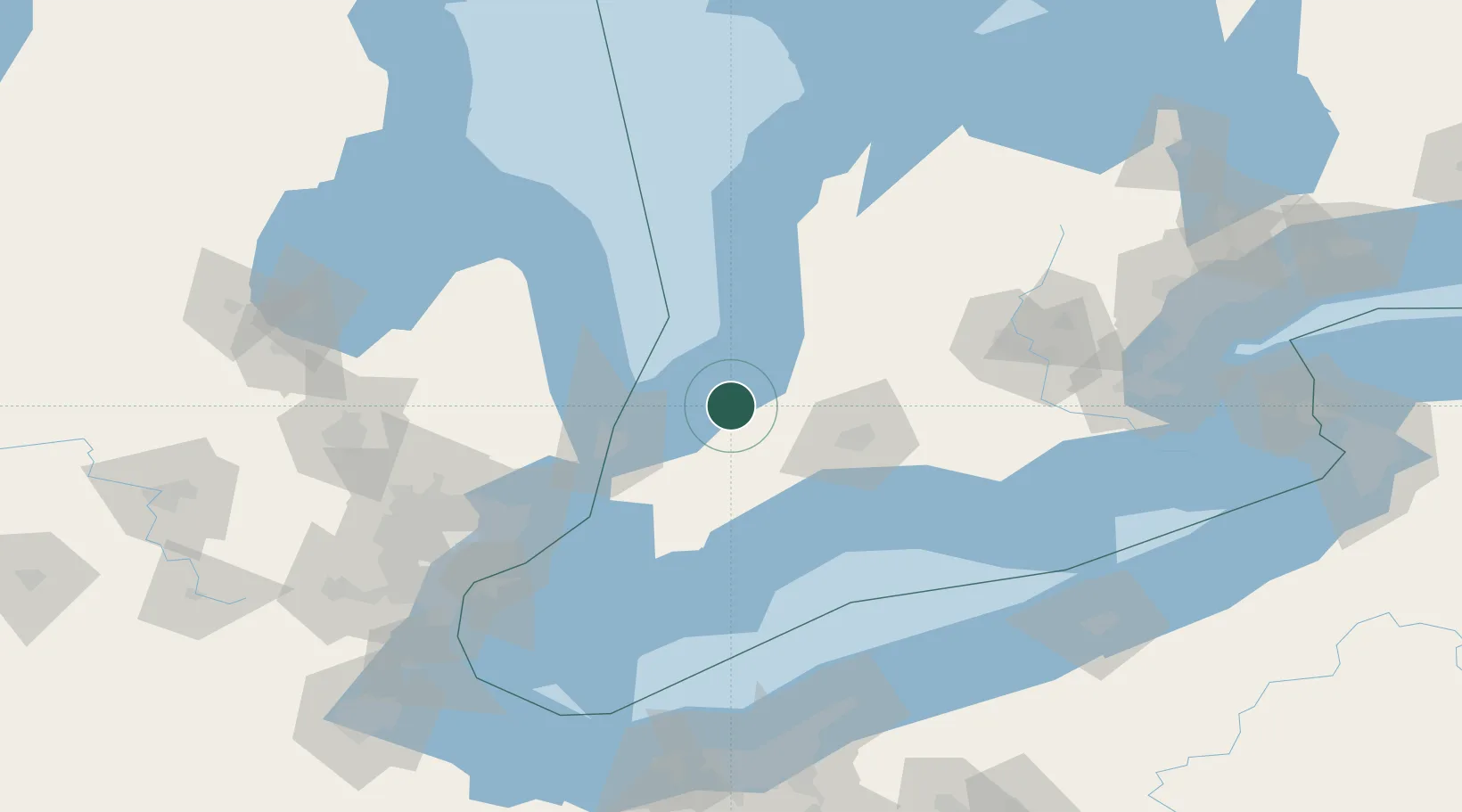
Location
Nearby Logistics Neighbours
Cities
- 1Forest13 km
- 2Wyoming31 km
- 3Inwood39 km
- 4Lobo39 km
- 5Point Edward48 km
Ports
- 1Point Edward49 km
- 2Sarnia50 km
- 3Port Huron50 km
- 4Courtright62 km
- 5St Clair64 km
Airports
Trade Zones
- 1FTZ No. 210 St. Clair County66 km
- 2Windsor - Essex Foreign Trade Zone133 km
- 3FTZ No. 070 Detroit144 km
- 4FTZ No. 140 Flint156 km
- 5FTZ No. 284 Genesee County173 km
DatabookThe Record of Consolidated Knowledge
Canada beyond logistics?