Transport Functions
Port
Rail
Road
Multimodal
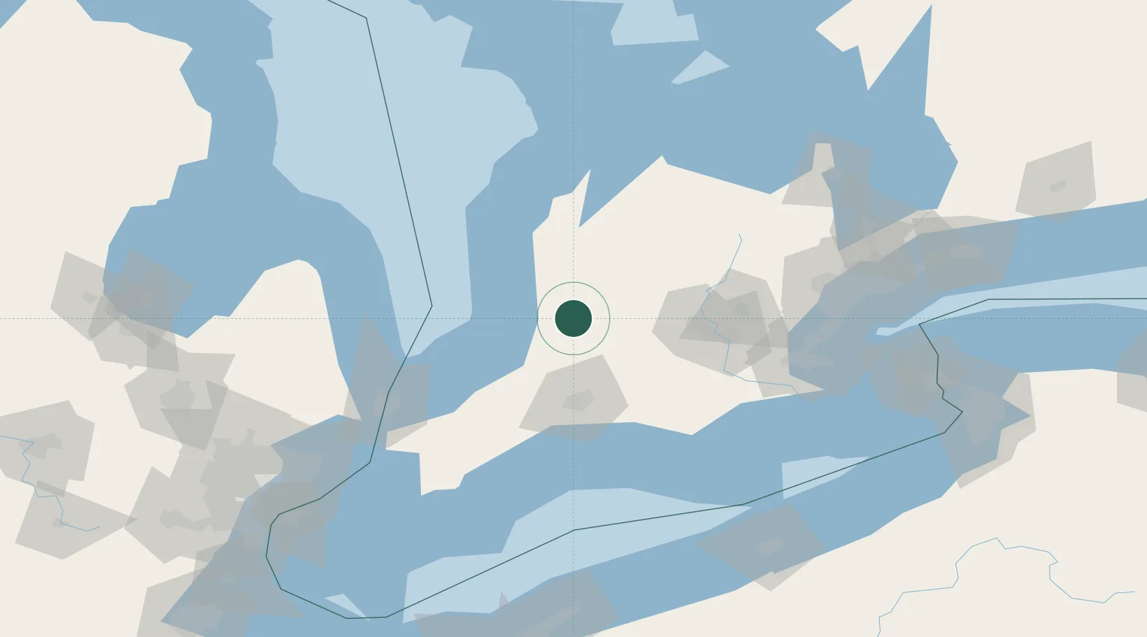
Hub Profile
Place type
Locality
Region
Ontario
Time zone
America/Toronto
Elevation
341 m
Location
Nearby Logistics Neighbours
Cities
- 1Mitchell9 km
- 2Brucefield18 km
- 3Walton20 km
- 4Sebringville21 km
- 5Saint-Pauls-Station27 km
Ports
- 1Goderich46 km
- 2Port Stanley93 km
- 3Port Elgin104 km
- 4Point Edward107 km
- 5Sarnia108 km
Airports
Trade Zones
- 1FTZ No. 210 St. Clair County125 km
- 2FTZ No. 034 Niagara County177 km
- 3FTZ No. 247 Erie182 km
- 4Niagara Foreign Trade Zone187 km
- 5Windsor - Essex Foreign Trade Zone194 km
DatabookThe Record of Consolidated Knowledge
Canada beyond logistics?