Transport Functions
Port
Hub Profile
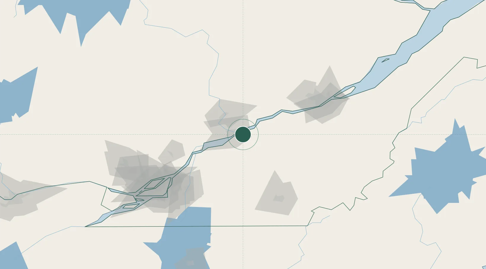
Place type
Populated place
Region
Quebec
Population
11,134
Time zone
America/Toronto
Elevation
9 m
Location
Nearby Logistics Neighbours
Cities
- 1Saint-Célestin15 km
- 2Daveluyville27 km
- 3Yamachiche31 km
- 4Sainte-Anne-de-la-Perade33 km
- 5Manseau34 km
Ports
- 1Trois Rivieres9 km
- 2Sorel61 km
- 3Contrecour77 km
- 4Quebec107 km
- 5Montreal125 km
Airports
Trade Zones
- 1Québec City FTZ106 km
- 2Greater Montreal Free Zone Center127 km
- 3FTZ No. 186 Waterville292 km
- 4FTZ No. 118 Ogdensburg300 km
- 5FTZ No. 263 Auburn304 km
DatabookThe Record of Consolidated Knowledge
Canada beyond logistics?