UN/LOCODE hub · Canada
CAADL

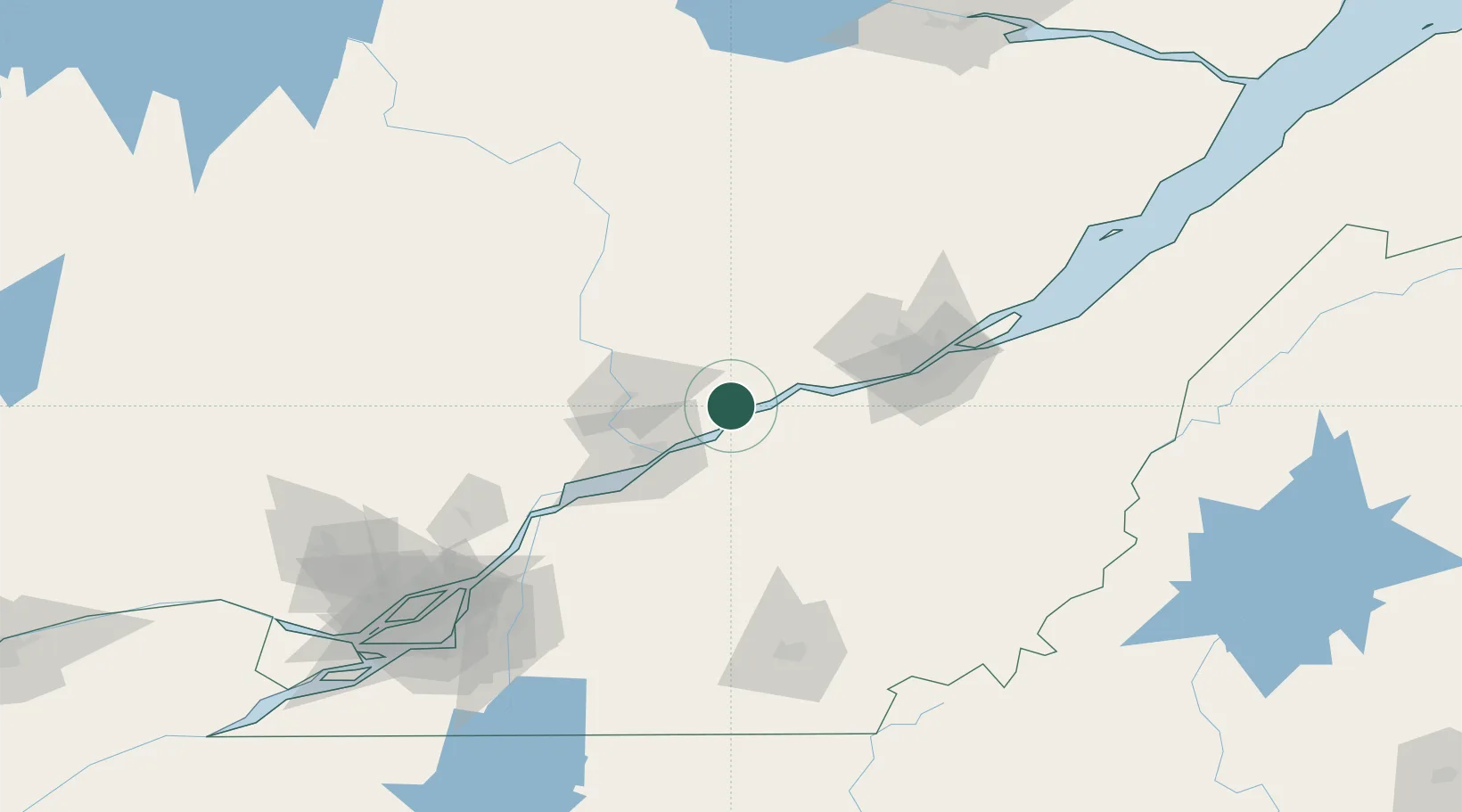
Sainte-Anne-de-la-Perade

46.5833°, -72.2000°
2,031
Population
2
Transport functions

Transport Functions

Road
Multimodal
UN/LOCODE

Hub Profile

Place type
Populated place
GeoNames
Region
Quebec
GeoNames
Population
2,031
GeoNames
Time zone
America/Toronto
GeoNames
Elevation
10 m
GeoNames

Location

Location of CAADL
Natural Earth 10m (public domain) · Quebec · CAADL · 46.58, -72.20GoogleOSMYandex

Nearby Logistics Neighbours

Cities
  1. 1Lotbinière21 km
  2. 2Manseau29 km
  3. 3Saint-Tite33 km
  4. 4Villeroy33 km
  5. 5Bécancour33 km
Nearest neighbours — logibook spatial index (haversine) over the source coordinates
Ports
  1. 1Port De Becancour25 km
  2. 2Trois Rivieres37 km
  3. 3Quebec79 km
  4. 4Sorel92 km
  5. 5Contrecour109 km
Nearest neighbours — logibook spatial index (haversine) over the source coordinates
Airports
  1. 1Trois-Rivières Airport45 km
  2. 2Quebec Jean Lesage International Airport66 km
  3. 3Saint-Georges Airport126 km
  4. 4Sherbrooke Airport133 km
  5. 5Bromont (Roland Désourdy) Airport150 km
Nearest neighbours — logibook spatial index (haversine) over the source coordinates
Trade Zones
  1. 1Québec City FTZ77 km
  2. 2Greater Montreal Free Zone Center159 km
  3. 3FTZ No. 186 Waterville299 km
  4. 4FTZ No. 179 Madawaska303 km
  5. 5FTZ No. 263 Auburn317 km
Nearest neighbours — logibook spatial index (haversine) over the source coordinates
DatabookThe Record of Consolidated Knowledge
Canada beyond logistics?
Browse databook

All Sources

LocationsUN/LOCODE
UN/LOCODE — free
LocationsGeoNames
CC BY 4.0
Portsthe NGA World Port Index
Public domain (US gov)
AirportsOurAirports
Public domain
Trade Zonesthe World Bank SEZ database
CC BY 4.0
Trade ZonesOpen Zone Map
CC BY
← Canada locations