Transport Functions
Rail
Road
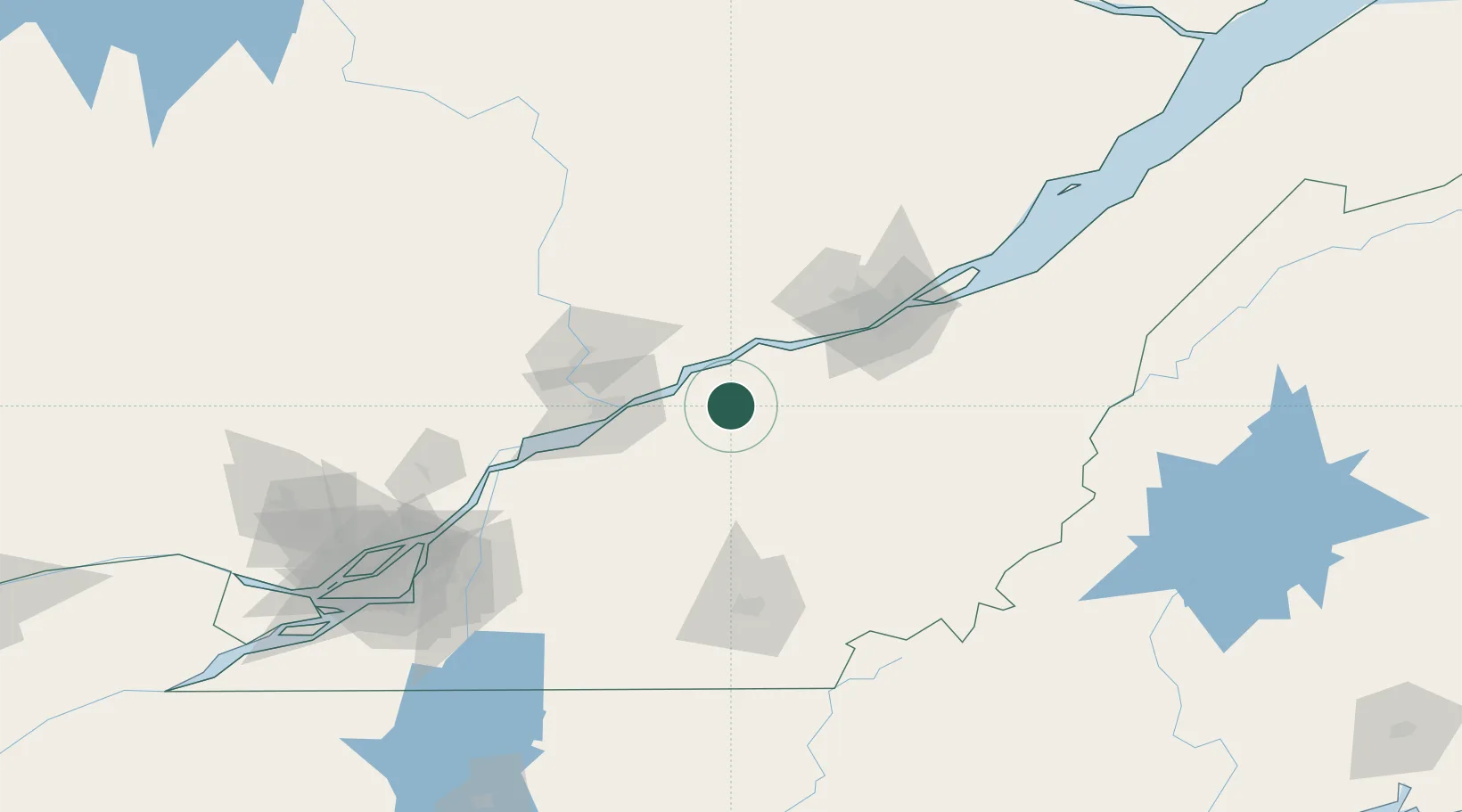
Hub Profile
Place type
Populated place
Region
Quebec
Time zone
America/Toronto
Elevation
90 m
Location
Nearby Logistics Neighbours
Cities
- 1Villeroy9 km
- 2Daveluyville21 km
- 3Plessisville24 km
- 4Princeville24 km
- 5Lotbinière28 km
Ports
- 1Port De Becancour30 km
- 2Trois Rivieres42 km
- 3Quebec78 km
- 4Sorel93 km
- 5Contrecour107 km
Airports
Trade Zones
- 1Québec City FTZ77 km
- 2Greater Montreal Free Zone Center154 km
- 3FTZ No. 186 Waterville271 km
- 4FTZ No. 263 Auburn289 km
- 5FTZ No. 179 Madawaska296 km
DatabookThe Record of Consolidated Knowledge
Canada beyond logistics?