Small airport · Canada
Rigolet AirportCCZ2
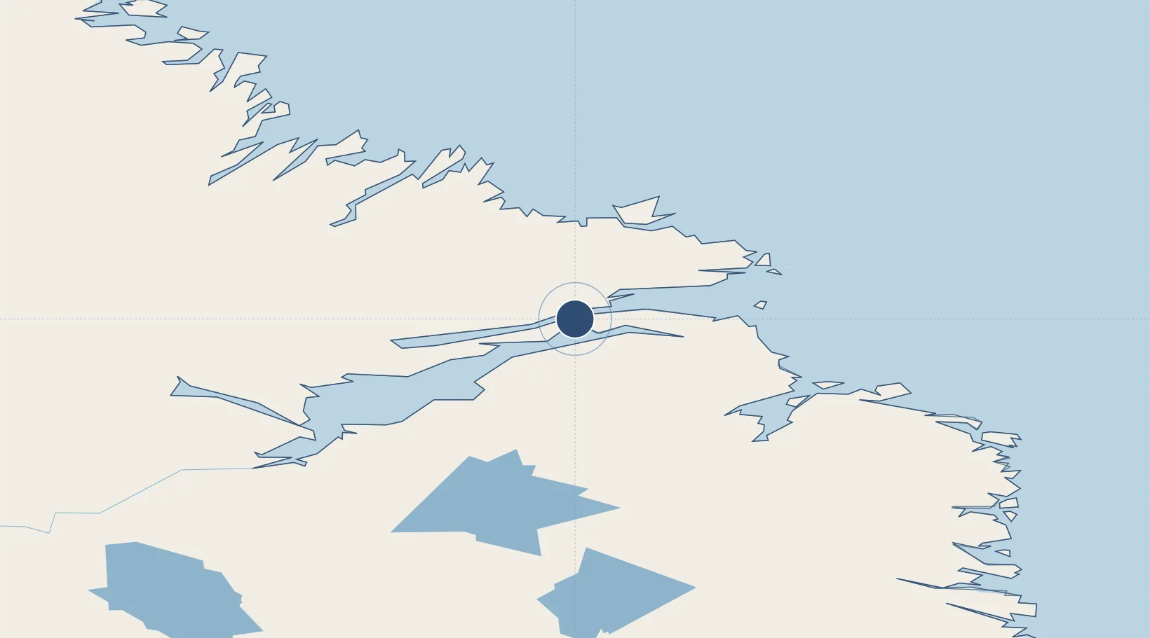
54.1797°, -58.4575°
2,500 ft
Longest runway
1
Runways
180 ft
Elevation
Runway & Layout

Runways · 1
| Runway | Dimensions | Surface | True heading | Lit |
|---|---|---|---|---|
| 11/29 | 2,500 × 75ft | GRAVEL | — | — |
Airport Specifications
IATA code
YRG
ICAO code
CCZ2
Airport class
Small airport
Scheduled service
Yes
Runway surface
GRAVEL
Served city
Rigolet
Location
Nearby Logistics Neighbours
Airports
- 1Cartwright Airport108 km
- 2Makkovik Airport110 km
- 3Postville Airport118 km
- 4Goose Bay Airport161 km
- 5Hopedale Airport181 km
Cities
- 1Adlavik87 km
- 2Goose Bay142 km
- 3Hopedale181 km
- 4Williams Harbour254 km
- 5Drogheda Premiere Periclase271 km
Ports
- 1Goose Bay151 km
- 2Blanc Sablon320 km
- 3Nain333 km
- 4St Anthony368 km
- 5Roddickton401 km
Trade Zones
- 1Crossroads Business Park641 km
- 2Cape Breton Regional Municipality Foreign Trade Zone906 km
- 3FTZ No. 179 Madawaska1034 km
- 4Halifax Gateway1122 km
- 5Saint John1130 km
DatabookThe Record of Consolidated Knowledge
Canada beyond logistics?