Transport Functions
Road
Multimodal
Hub Profile
Place type
Populated place
Region
Quebec
Population
1,180
Time zone
America/Toronto
Elevation
171 m
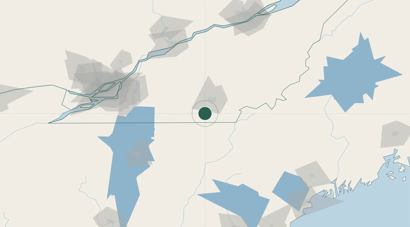
Location
Nearby Logistics Neighbours
Cities
- 1Magog14 km
- 2Waterville18 km
- 3Sainte-Anne-de-la-Rochelle28 km
- 4Lawrenceville37 km
- 5Valcourt42 km
Ports
- 1Contrecour121 km
- 2Montreal125 km
- 3Sorel129 km
- 4Trois Rivieres138 km
- 5Port De Becancour140 km
Airports
Trade Zones
- 1Greater Montreal Free Zone Center125 km
- 2FTZ No. 263 Auburn187 km
- 3Québec City FTZ195 km
- 4FTZ No. 186 Waterville197 km
- 5FTZ No. 081 Portsmouth253 km
DatabookThe Record of Consolidated Knowledge
Canada beyond logistics?