Transport Functions
Rail
Road
Hub Profile
Place type
Populated place
Region
Quebec
Time zone
America/Toronto
Elevation
264 m
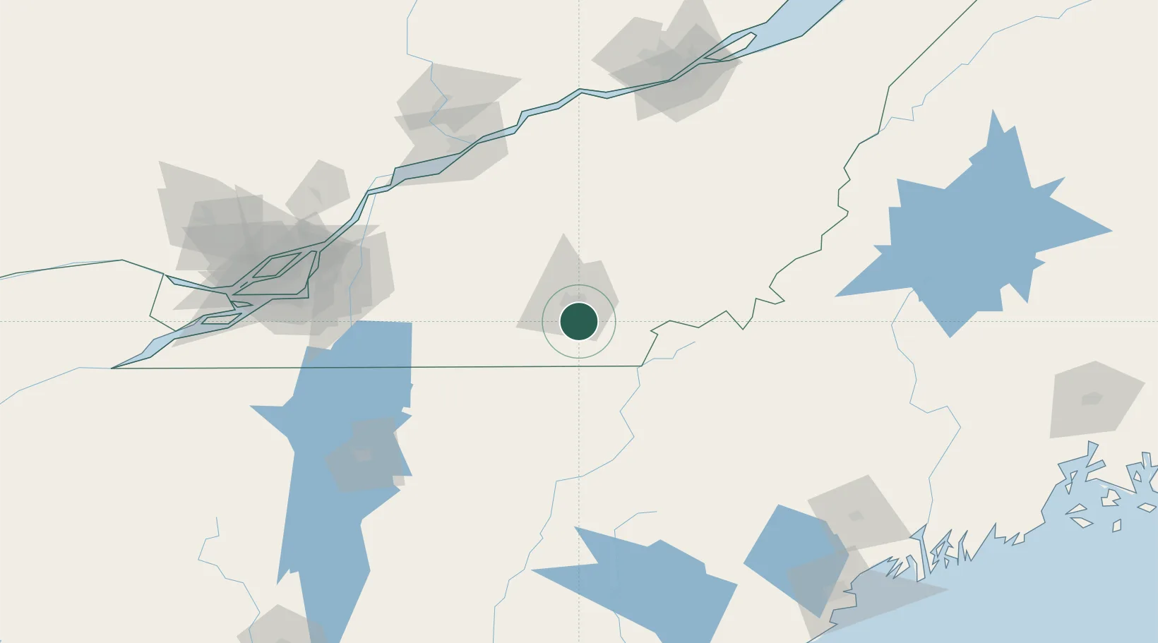
Location
Nearby Logistics Neighbours
Cities
- 1Ayer's Cliff18 km
- 2Magog21 km
- 3Cookshire25 km
- 4East Angus28 km
- 5Saint-Isidore d'Auckland29 km
Ports
- 1Contrecour122 km
- 2Sorel128 km
- 3Trois Rivieres129 km
- 4Port De Becancour130 km
- 5Montreal133 km
Airports
- 1Sherbrooke Airport23 km
- 2Bromont (Roland Désourdy) Airport67 km
- 3St Jean Airport109 km
- 4Montréal / Saint-Hubert Metropolitan Airport123 km
- 5Saint-Georges Airport128 km
Trade Zones
- 1Greater Montreal Free Zone Center133 km
- 2Québec City FTZ179 km
- 3FTZ No. 263 Auburn187 km
- 4FTZ No. 186 Waterville191 km
- 5FTZ No. 058 Bangor247 km
DatabookThe Record of Consolidated Knowledge
Canada beyond logistics?