Transport Functions
Port
Road
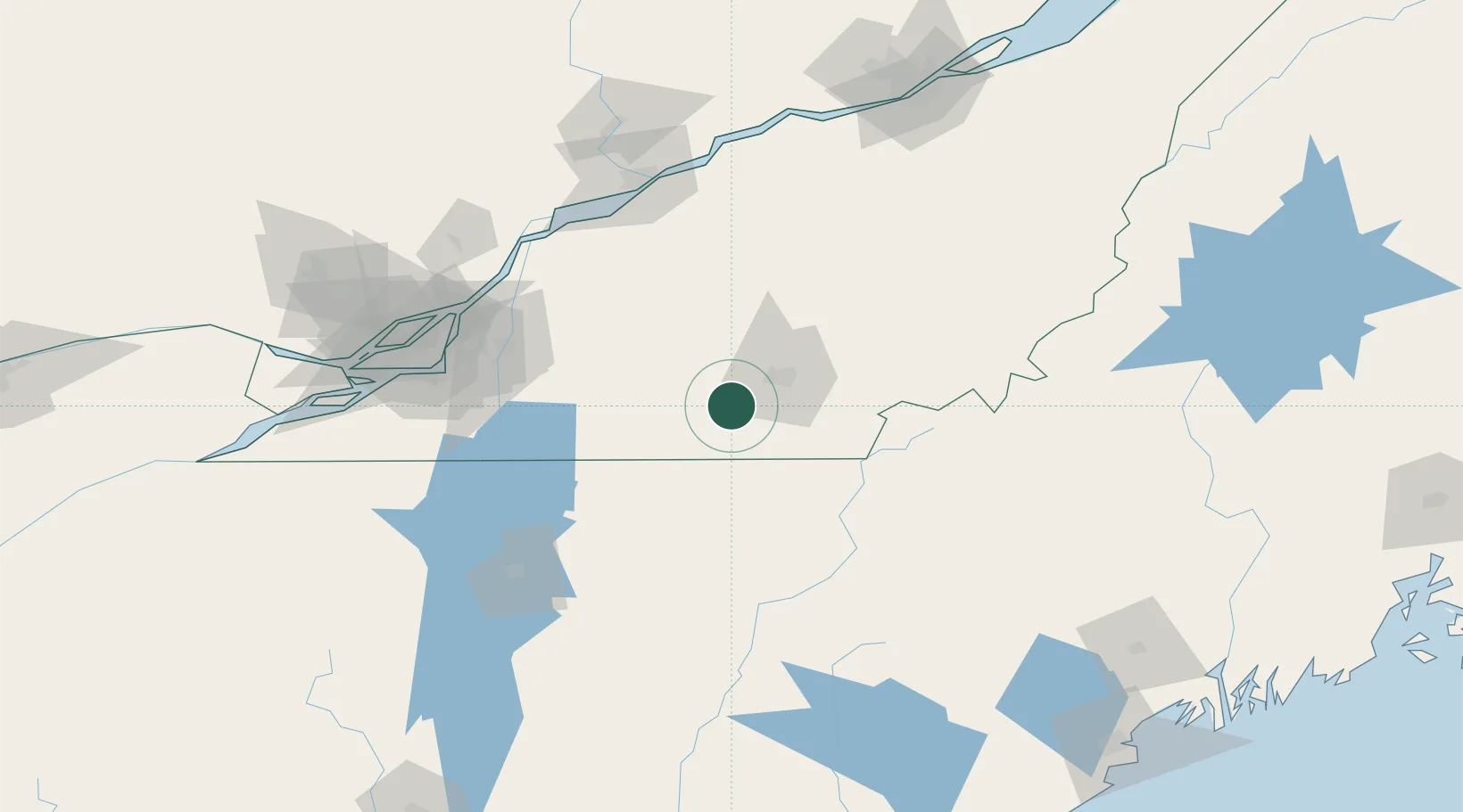
Hub Profile
Place type
Populated place
Region
Quebec
Population
15,550
Time zone
America/Toronto
Elevation
220 m
Location
Nearby Logistics Neighbours
Cities
- 1Ayer's Cliff14 km
- 2Sainte-Anne-de-la-Rochelle16 km
- 3Waterville21 km
- 4Lawrenceville23 km
- 5Valcourt27 km
Ports
- 1Contrecour107 km
- 2Montreal113 km
- 3Sorel115 km
- 4Trois Rivieres124 km
- 5Port De Becancour127 km
Airports
Trade Zones
- 1Greater Montreal Free Zone Center114 km
- 2Québec City FTZ187 km
- 3FTZ No. 263 Auburn201 km
- 4FTZ No. 186 Waterville209 km
- 5FTZ No. 058 Bangor267 km
DatabookThe Record of Consolidated Knowledge
Canada beyond logistics?