Medium airport · Brazil
Senador Nilo Coelho AirportSBPL
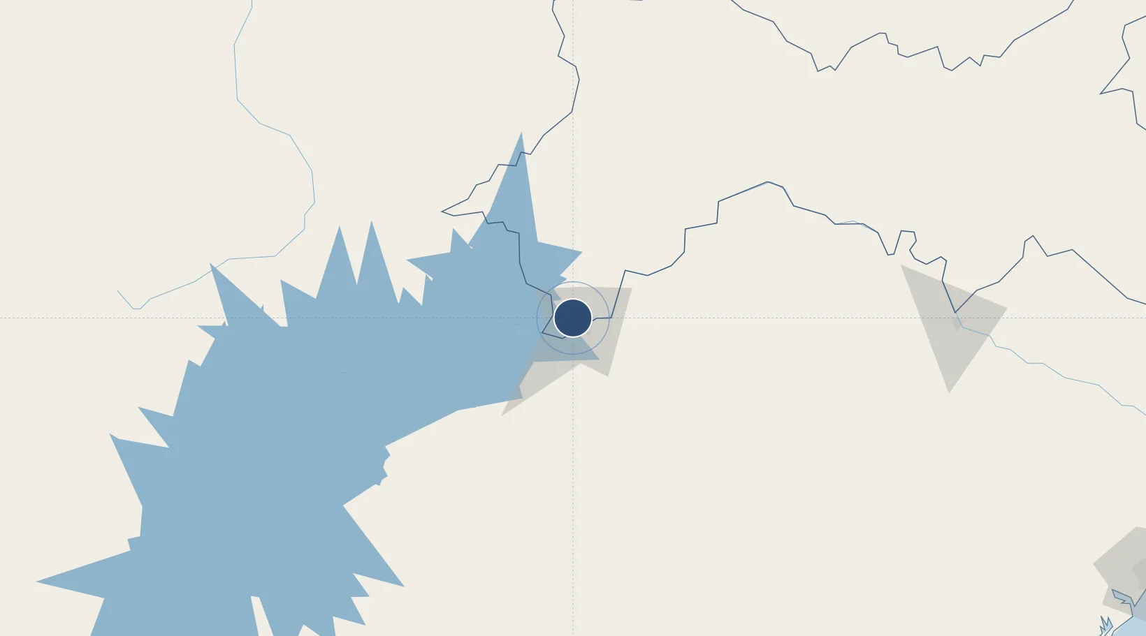
-9.3624°, -40.5691°
9,055 ft
Longest runway
1
Runways
1,263 ft
Elevation
Runway & Layout

Radio Frequencies
AFIS
125.7 MHz
RDO
Navaids
PTL VOR-DME Petrolina 112.10 MHz
PTL NDB Petrolina 345 kHz
Runways · 1
| Runway | Dimensions | Surface | True heading | Lit |
|---|---|---|---|---|
| 13/31 | 9,055 × 148ft | Asphalt | — | — |
Airport Specifications
IATA code
PNZ
ICAO code
SBPL
Airport class
Medium airport
Scheduled service
Yes
Runway surface
Asphalt
Served city
Petrolina
Location
Nearby Logistics Neighbours
Airports
- 1Paulo Afonso Airport254 km
- 2Orlando Bezerra de Menezes Airport278 km
- 3Santa Magalhães Airport286 km
- 4Pedro Vieira Moreira Airport350 km
- 5Coronel Horácio de Mattos Airport355 km
Cities
- 1Petrolina7 km
- 2Juazeiro9 km
- 3Campo Formoso130 km
- 4Itiúba167 km
- 5Xique-Xique285 km
Ports
- 1Port De Aracaju422 km
- 2Madre De Deus433 km
- 3Aratu442 km
- 4Port De Salvador459 km
- 5Porto De Maceio531 km
Trade Zones
- 1ZPE de Barra dos Coqueiros (SE)423 km
- 2Zona Franca Ilhéus (BA)596 km
- 3ZPE de Suape (PE)624 km
- 4ZPE de João Pessoa (PB)665 km
- 5ZPE de Pecém (CE) ( Port of Pecém)671 km
DatabookThe Record of Consolidated Knowledge
Brazil beyond logistics?