UN/LOCODE hub · Brazil
BRJDF
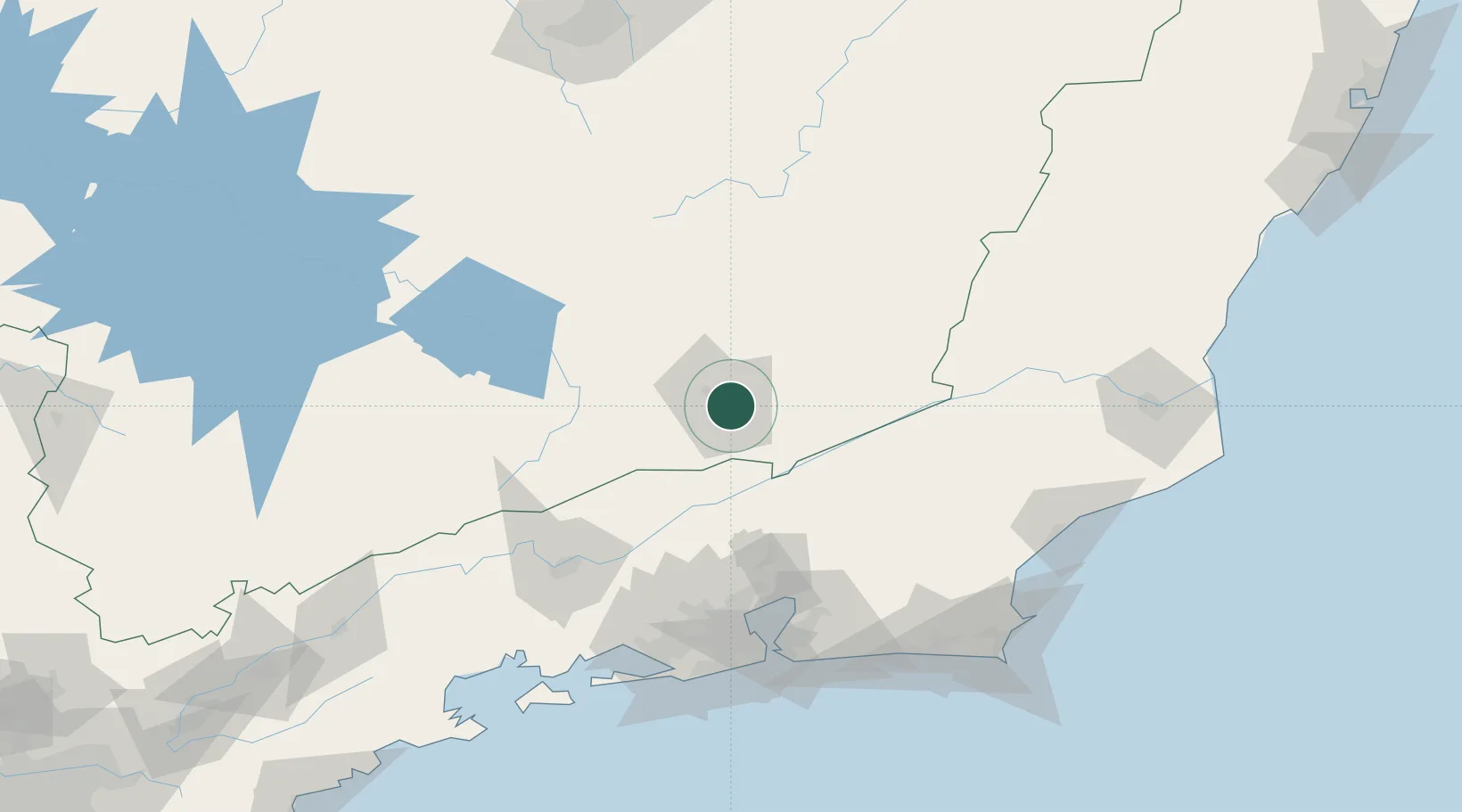
Juiz de Fora
-21.7500°, -43.3333°
573,285
Population
4
Transport functions
Transport Functions
Rail
Road
Airport
Multimodal
Hub Profile
Place type
Provincial seat
Region
Minas Gerais
Population
573,285
Time zone
America/Sao_Paulo
Elevation
707 m
Location
Nearby Logistics Neighbours
Cities
- 1Paraíba do Sul45 km
- 2Valença66 km
- 3Barbacena74 km
- 4Carandaí101 km
- 5Mesquita113 km
Ports
- 1Niteroi128 km
- 2Rio De Janeiro129 km
- 3Angra Dos Reis173 km
- 4Macae175 km
- 5Porto Do Forno191 km
Airports
Trade Zones
- 1ZPE de Itaguaí (RJ)137 km
- 2ZPE do Açú (RJ)237 km
- 3ZPE de Aracruz (ES)408 km
- 4ZPE de Teófilo Otoni (MG)473 km
- 5ZPE de Uberaba (MG)535 km
DatabookThe Record of Consolidated Knowledge
Brazil beyond logistics?