UN/LOCODE hub · Brazil
BRPSU
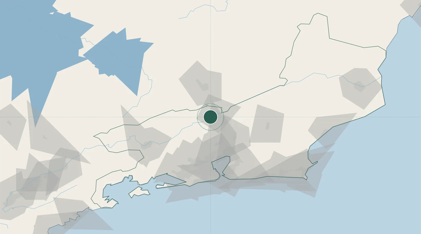
Paraíba do Sul
-22.1500°, -43.2833°
44,467
Population
2
Transport functions
Transport Functions
Rail
Road
Hub Profile
Place type
Populated place
Region
Rio de Janeiro
Population
44,467
Time zone
America/Sao_Paulo
Elevation
323 m
Location
Nearby Logistics Neighbours
Cities
- 1Valença44 km
- 2Juiz de Fora45 km
- 3Mesquita70 km
- 4Duque de Caxias70 km
- 5Rio de Janeiro78 km
Ports
- 1Niteroi83 km
- 2Rio De Janeiro84 km
- 3Angra Dos Reis143 km
- 4Macae158 km
- 5Porto Do Forno159 km
Airports
Trade Zones
- 1ZPE de Itaguaí (RJ)98 km
- 2ZPE do Açú (RJ)234 km
- 3ZPE de Aracruz (ES)429 km
- 4ZPE de Teófilo Otoni (MG)512 km
- 5ZPE de Uberaba (MG)559 km
DatabookThe Record of Consolidated Knowledge
Brazil beyond logistics?