Transport Functions
Rail
Road
Multimodal
Hub Profile
Place type
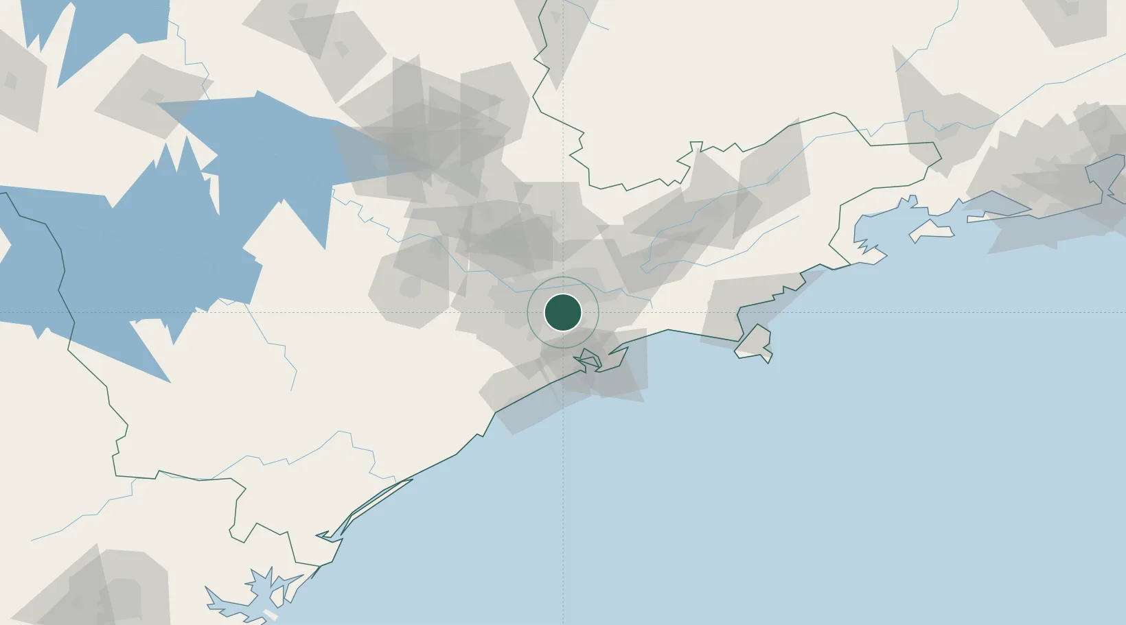
Populated place
Region
São Paulo
Population
662,373
Time zone
America/Sao_Paulo
Elevation
801 m
Location
Nearby Logistics Neighbours
Cities
- 1São Bernardo do Campo7 km
- 2Mauá7 km
- 3São Caetano do Sul8 km
- 4Guarulhos20 km
- 5Suzano26 km
Ports
- 1Santos40 km
- 2Sao Sebastiao115 km
- 3Angra Dos Reis235 km
- 4Paranagua289 km
- 5Rio De Janeiro352 km
Airports
Trade Zones
- 1ZPE de Itaguaí (RJ)292 km
- 2ZPE de Uberaba (MG)465 km
- 3ZPE de Imbituba (SC)486 km
- 4ZPE de Fernandópolis (SP)537 km
- 5ZPE do Açú (RJ)597 km
DatabookThe Record of Consolidated Knowledge
Brazil beyond logistics?