Medium airport · Argentina
Paso De Los Libres AirportSARL
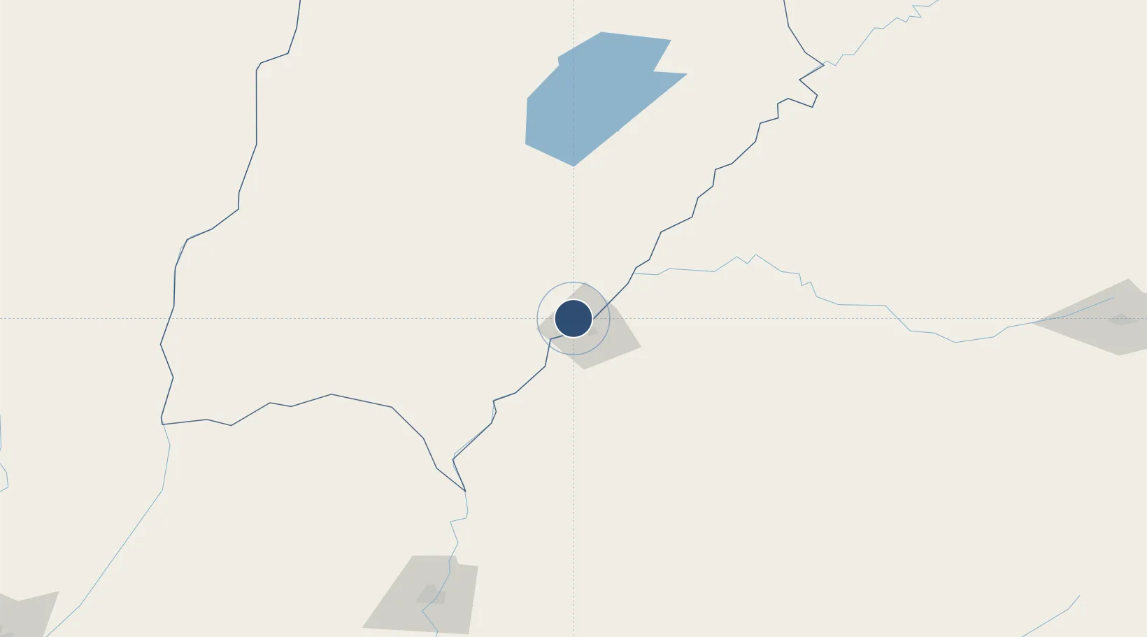
-29.6894°, -57.1521°
7,415 ft
Longest runway
1
Runways
230 ft
Elevation
Runway & Layout

Radio Frequencies
TWR
120.3 MHz
LIBRES TWR/APP
Navaids
LIB NDB Paso De Los Libres 250 kHz
Runways · 1
| Runway | Dimensions | Surface | True heading | Lit |
|---|---|---|---|---|
| 18/36 | 7,415 × 148ft | Asphalt | 171° | ✓ |
Airport Specifications
IATA code
AOL
ICAO code
SARL
Airport class
Medium airport
Scheduled service
No
Runway surface
Asphalt
Served city
Paso de los Libres
Location
Nearby Logistics Neighbours
Airports
- 1Rubem Berta Airport15 km
- 2Monte Caseros Airport80 km
- 3Curuzu Cuatia Airport80 km
- 4Comodoro Pierrestegui Airport196 km
- 5Nueva Hesperides International Airport210 km
Cities
- 1Uruguaiana11 km
- 2Barra do Quaraí69 km
- 3Itaqui86 km
- 4Quaraí101 km
- 5Mocoretá131 km
Ports
- 1Concordia208 km
- 2Colon296 km
- 3Paysandu305 km
- 4Concepcion Del Uruguay327 km
- 5Parana394 km
Trade Zones
- 1Rivera Free Zone207 km
- 2UPM Fray Bentos Free Zone396 km
- 3Zona Franca UPM396 km
- 4Nueva Palmira Free Zone482 km
- 5Florida Free Zone499 km
DatabookThe Record of Consolidated Knowledge
Argentina beyond logistics?