Transport Functions
Road
Airport
Multimodal
Hub Profile
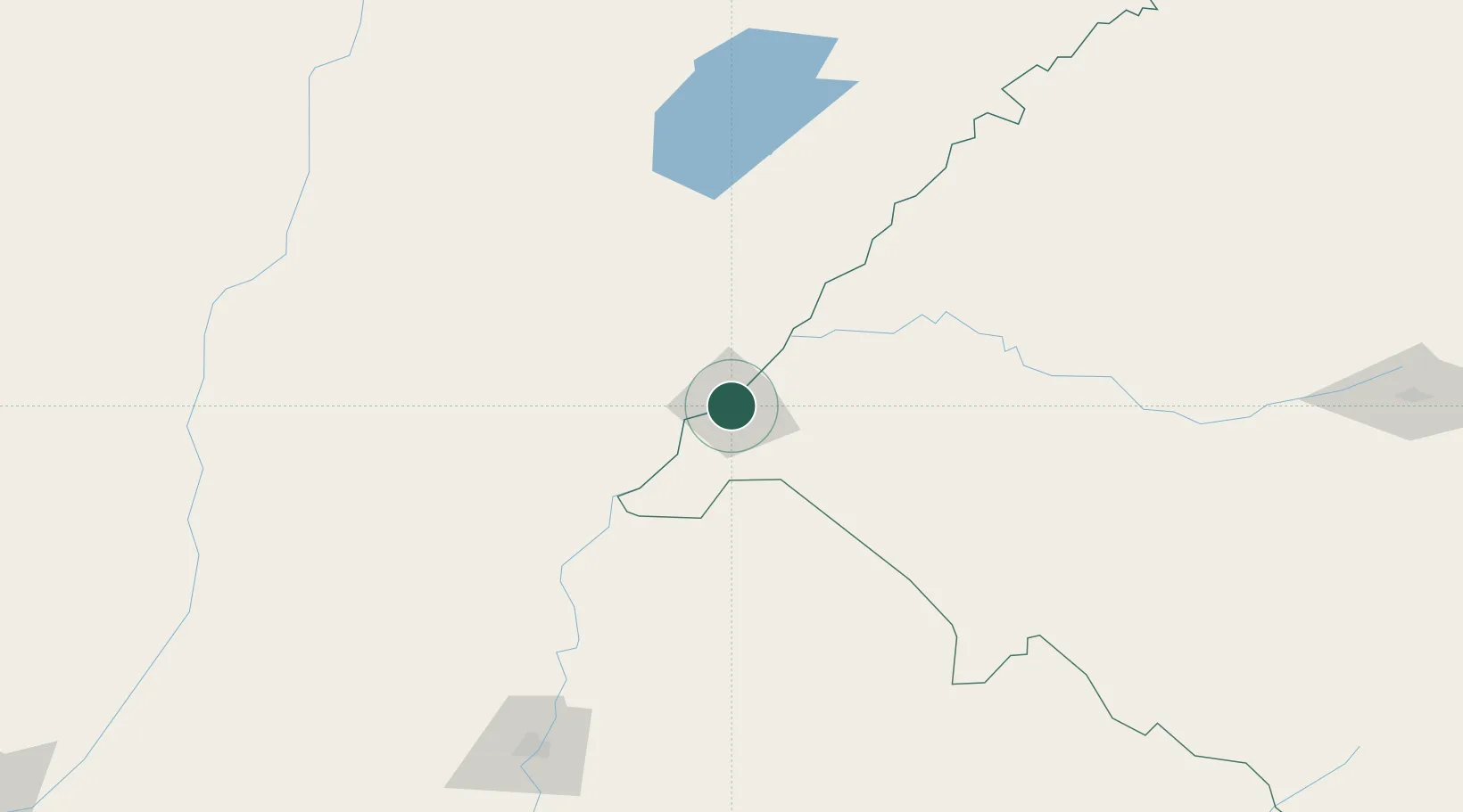
Place type
Populated place
Region
Rio Grande do Sul
Population
123,480
Time zone
America/Sao_Paulo
Elevation
79 m
Location
Nearby Logistics Neighbours
Cities
- 1Barra do Quaraí68 km
- 2Itaqui86 km
- 3Quaraí91 km
- 4Mocoretá131 km
- 5Chajarí143 km
Ports
- 1Concordia206 km
- 2Colon293 km
- 3Paysandu301 km
- 4Concepcion Del Uruguay324 km
- 5Fray Bentos393 km
Airports
- 1Rubem Berta Airport5 km
- 2Paso De Los Libres Airport11 km
- 3Monte Caseros Airport80 km
- 4Curuzu Cuatia Airport88 km
- 5Comodoro Pierrestegui Airport194 km
Trade Zones
- 1Rivera Free Zone197 km
- 2UPM Fray Bentos Free Zone392 km
- 3Zona Franca UPM392 km
- 4Nueva Palmira Free Zone477 km
- 5Florida Free Zone491 km
DatabookThe Record of Consolidated Knowledge
Brazil beyond logistics?