UN/LOCODE hub · Brazil
BRBQI
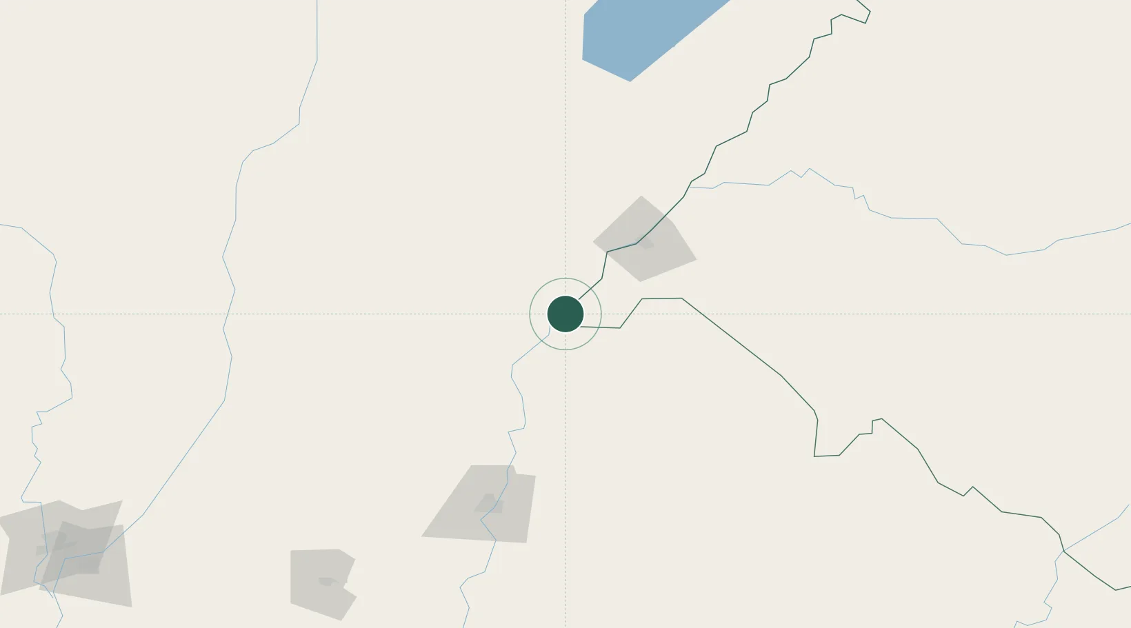
Barra do Quaraí
-30.2000°, -57.5500°
4,241
Population
2
Transport functions
Transport Functions
Road
Multimodal
Hub Profile
Place type
Populated place
Region
Rio Grande do Sul
Population
4,241
Time zone
America/Sao_Paulo
Elevation
47 m
Location
Nearby Logistics Neighbours
Cities
- 1Mocoretá63 km
- 2Uruguaiana68 km
- 3Chajarí76 km
- 4Quaraí107 km
- 5Itaqui154 km
Ports
- 1Concordia141 km
- 2Colon231 km
- 3Paysandu240 km
- 4Concepcion Del Uruguay262 km
- 5Parana331 km
Airports
- 1Monte Caseros Airport12 km
- 2Curuzu Cuatia Airport63 km
- 3Rubem Berta Airport68 km
- 4Paso De Los Libres Airport69 km
- 5Comodoro Pierrestegui Airport129 km
Trade Zones
- 1Rivera Free Zone208 km
- 2UPM Fray Bentos Free Zone332 km
- 3Zona Franca UPM332 km
- 4Nueva Palmira Free Zone418 km
- 5Montes de Plata Free Zone450 km
DatabookThe Record of Consolidated Knowledge
Brazil beyond logistics?