Medium airport · Argentina

Monte Caseros AirportSARM
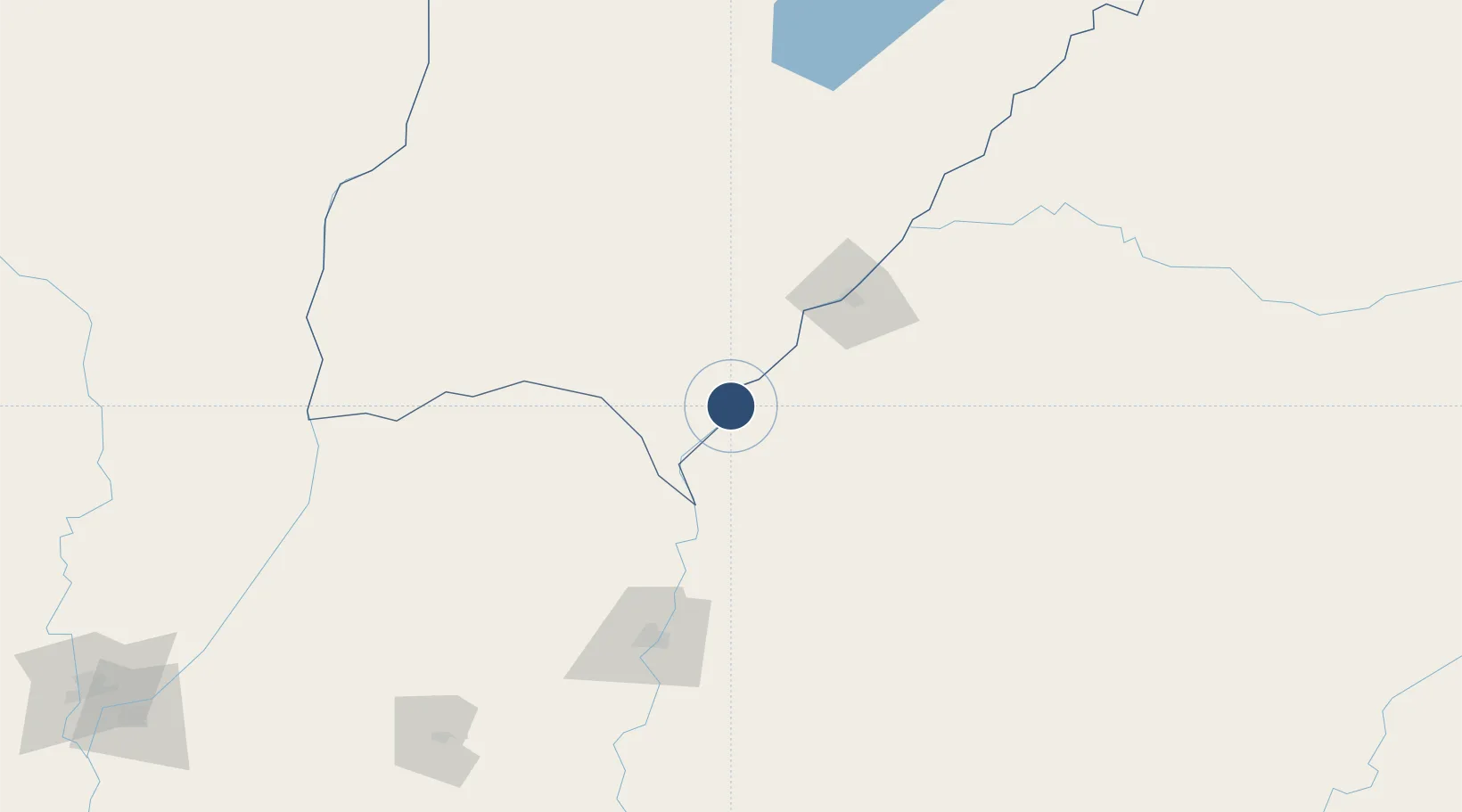
-30.2719°, -57.6402°
4,323 ft
Longest runway
2
Runways
170 ft
Elevation

Runway & Layout

Monte Caseros Airport runway & taxiway layout
Runway & taxiway layout — OpenStreetMap (ODbL) / OurAirports

Radio Frequencies

RDO
118.7 MHz
OurAirports

Navaids

MCS VOR-DME Monte Caseros 113.90 MHz
OurAirports

Runways · 2

RunwayDimensions SurfaceTrue headingLit
18L/36R 4,323 × 98ft Graded earth 173°
18/36 4,068 × 98ft Graded earth 173°
OurAirports

Airport Specifications

IATA code
MCS
OurAirports
ICAO code
SARM
OurAirports
Airport class
Medium airport
OurAirports
Scheduled service
No
OurAirports
Runway surface
Graded earth
OurAirports
Served city
Monte Caseros
OurAirports

Location

Location of SARM
Natural Earth 10m (public domain) · Corrientes · SARM · -30.27, -57.64GoogleOSMYandex

Nearby Logistics Neighbours

Airports
  1. 1Curuzu Cuatia Airport65 km
  2. 2Rubem Berta Airport80 km
  3. 3Paso De Los Libres Airport80 km
  4. 4Comodoro Pierrestegui Airport119 km
  5. 5Nueva Hesperides International Airport134 km
Nearest neighbours — logibook spatial index (haversine) over the source coordinates
Cities
  1. 1Barra do Quaraí12 km
  2. 2Mocoretá51 km
  3. 3Chajarí64 km
  4. 4Uruguaiana80 km
  5. 5Quaraí115 km
Nearest neighbours — logibook spatial index (haversine) over the source coordinates
Ports
  1. 1Concordia131 km
  2. 2Colon221 km
  3. 3Paysandu231 km
  4. 4Concepcion Del Uruguay252 km
  5. 5Parana319 km
Nearest neighbours — logibook spatial index (haversine) over the source coordinates
Trade Zones
  1. 1Rivera Free Zone213 km
  2. 2UPM Fray Bentos Free Zone322 km
  3. 3Zona Franca UPM322 km
  4. 4Nueva Palmira Free Zone409 km
  5. 5Montes de Plata Free Zone441 km
Nearest neighbours — logibook spatial index (haversine) over the source coordinates
DatabookThe Record of Consolidated Knowledge
Argentina beyond logistics?
Browse databook

All Sources

AirportsOurAirports
Public domain
Portsthe NGA World Port Index
Public domain (US gov)
LocationsUN/LOCODE
UN/LOCODE — free
Trade Zonesthe World Bank SEZ database
CC BY 4.0
Trade ZonesOpen Zone Map
CC BY
InfrastructureOpenStreetMap
ODbL 1.0
← Argentina airports