UN/LOCODE hub · Brazil
BRSCL
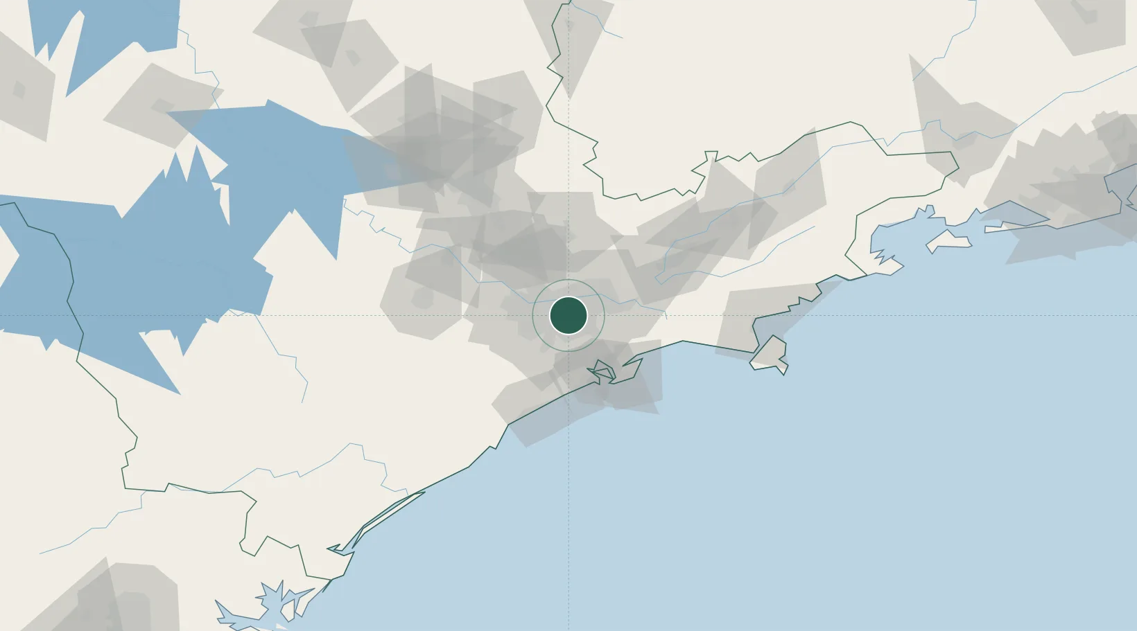
São Caetano do Sul
-23.6000°, -46.5667°
165,655
Population
2
Transport functions
Transport Functions
Rail
Road
Hub Profile
Place type
Populated place
Region
São Paulo
Population
165,655
Time zone
America/Sao_Paulo
Elevation
770 m
Location
Nearby Logistics Neighbours
Cities
- 1Santo André8 km
- 2São Bernardo do Campo11 km
- 3Mauá14 km
- 4Guarulhos16 km
- 5Itaquaquecetuba27 km
Ports
- 1Santos47 km
- 2Sao Sebastiao121 km
- 3Angra Dos Reis239 km
- 4Paranagua289 km
- 5Rio De Janeiro356 km
Airports
Trade Zones
- 1ZPE de Itaguaí (RJ)295 km
- 2ZPE de Uberaba (MG)458 km
- 3ZPE de Imbituba (SC)489 km
- 4ZPE de Fernandópolis (SP)530 km
- 5ZPE do Açú (RJ)600 km
DatabookThe Record of Consolidated Knowledge
Brazil beyond logistics?