UN/LOCODE hub · Brazil
BRSBC
São Bernardo do Campo
-23.7000°, -46.5500°
743,372
Population
2
Transport functions
Transport Functions
Road
Multimodal
Hub Profile
Place type
Populated place
Region
São Paulo
Population
743,372
Time zone
America/Sao_Paulo
Elevation
796 m
Logistics facilities
1
Location
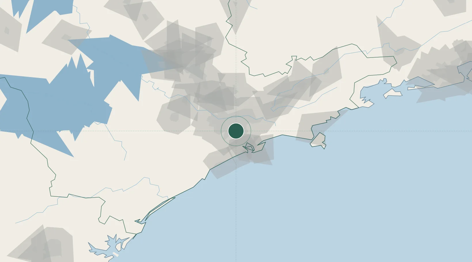
Nearby Logistics Neighbours
Cities
- 1Santo André7 km
- 2Mauá11 km
- 3São Caetano do Sul11 km
- 4Cubatão24 km
- 5Guarulhos26 km
Ports
- 1Santos38 km
- 2Sao Sebastiao118 km
- 3Angra Dos Reis240 km
- 4Paranagua282 km
- 5Sao Francisco353 km
Airports
Trade Zones
- 1ZPE de Itaguaí (RJ)297 km
- 2ZPE de Uberaba (MG)469 km
- 3ZPE de Imbituba (SC)479 km
- 4ZPE de Fernandópolis (SP)539 km
- 5ZPE do Açú (RJ)602 km
DatabookThe Record of Consolidated Knowledge
Brazil beyond logistics?