UN/LOCODE hub · Brazil
BRCUO

Cubatão

-23.8602°, -46.3940°
112,476
Population
4
Transport functions

Transport Functions

Port
Rail
Road
Multimodal
UN/LOCODE

Hub Profile

Place type
Populated place
GeoNames
Region
São Paulo
GeoNames
Population
112,476
GeoNames
Time zone
America/Sao_Paulo
GeoNames
Elevation
6 m
GeoNames
Logistics facilities
3
UN/LOCODE

Location

Location of BRCUO
Natural Earth 10m (public domain) · São Paulo · BRCUO · -23.86, -46.39GoogleOSMYandex

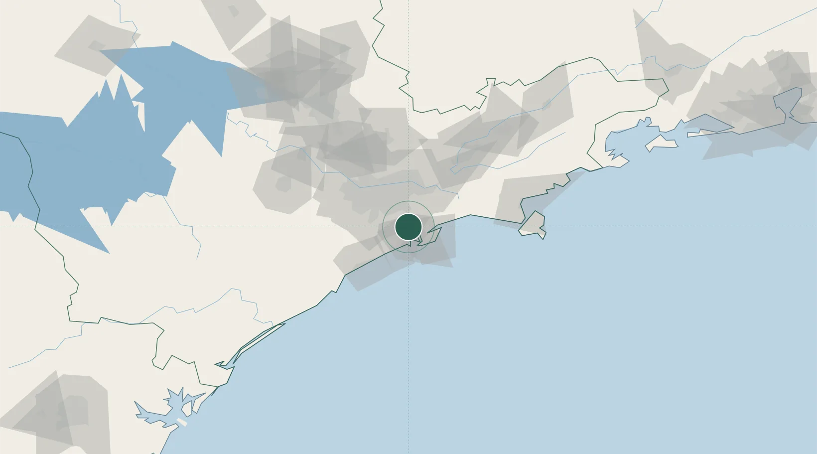
Nearby Logistics Neighbours

Cities
  1. 1Santos9 km
  2. 2São Vicente11 km
  3. 3Guarujá12 km
  4. 4Gurupi16 km
  5. 5São Paulo17 km
Nearest neighbours — logibook spatial index (haversine) over the source coordinates
Ports
  1. 1Santos14 km
  2. 2Sao Sebastiao101 km
  3. 3Angra Dos Reis232 km
  4. 4Paranagua282 km
  5. 5Rio De Janeiro346 km
Nearest neighbours — logibook spatial index (haversine) over the source coordinates
Trade Zones
  1. 1ZPE de Itaguaí (RJ)287 km
  2. 2ZPE de Imbituba (SC)470 km
  3. 3ZPE de Uberaba (MG)491 km
  4. 4ZPE de Fernandópolis (SP)563 km
  5. 5ZPE do Açú (RJ)593 km
Nearest neighbours — logibook spatial index (haversine) over the source coordinates
DatabookThe Record of Consolidated Knowledge
Brazil beyond logistics?
Browse databook

All Sources

LocationsUN/LOCODE
UN/LOCODE — free
LocationsGeoNames
CC BY 4.0
Portsthe NGA World Port Index
Public domain (US gov)
AirportsOurAirports
Public domain
Trade Zonesthe World Bank SEZ database
CC BY 4.0
Trade ZonesOpen Zone Map
CC BY
← Brazil locations