Transport Functions
Road
Airport
Multimodal
Hub Profile
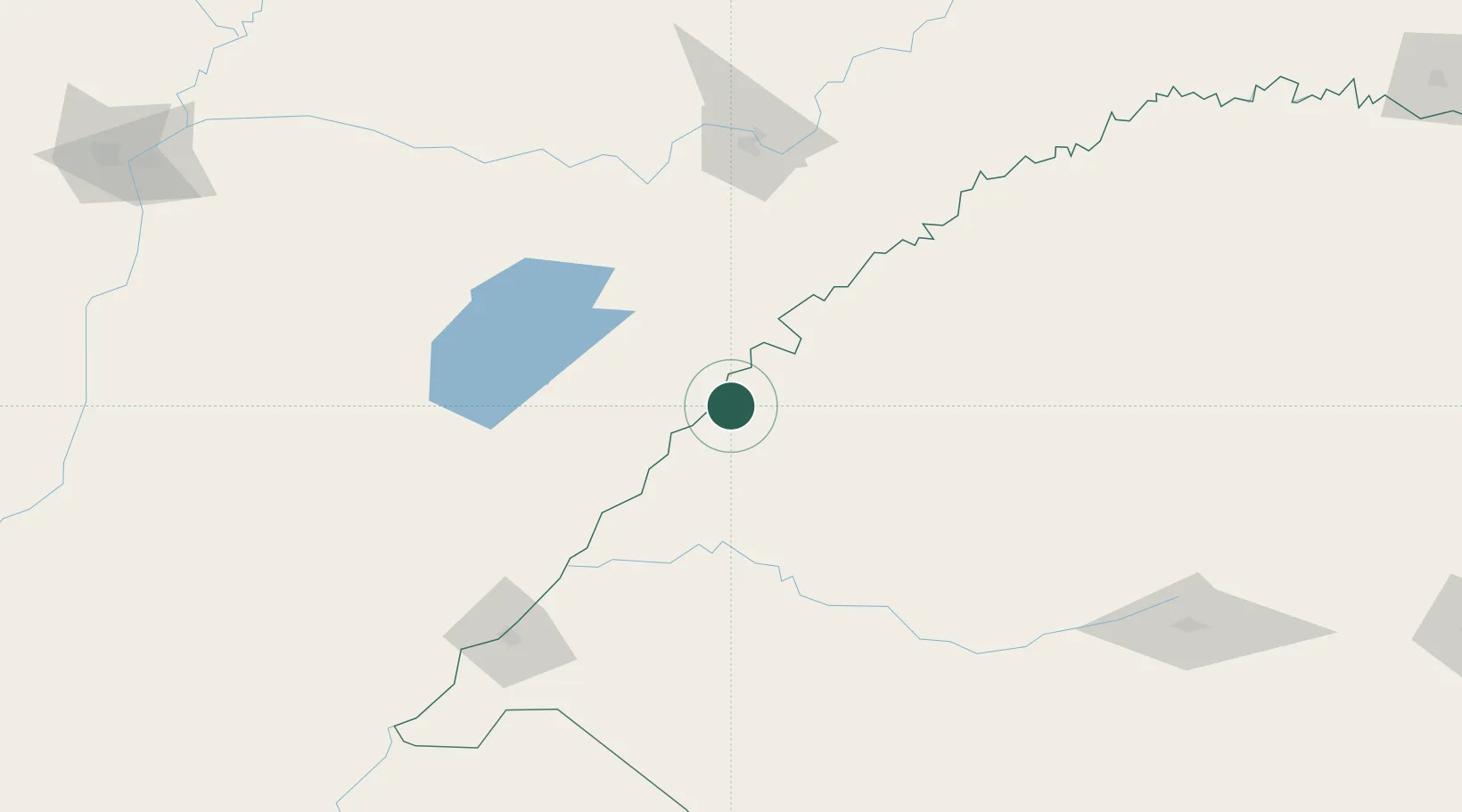
Place type
Provincial seat
Region
Rio Grande do Sul
Population
60,019
Time zone
America/Sao_Paulo
Elevation
98 m
Location
Nearby Logistics Neighbours
Cities
- 1Itaqui75 km
- 2Porto Xavier119 km
- 3Cerro Azul124 km
- 4Candelaria136 km
- 5Posadas143 km
Ports
- 1Concordia363 km
- 2Puerto De Asuncion412 km
- 3Colon446 km
- 4Paysandu453 km
- 5Concepcion Del Uruguay477 km
Airports
Trade Zones
- 1Rivera Free Zone259 km
- 2Zona Franca Puerto Iguazu Free Trade Zone368 km
- 3Zona Franca Global373 km
- 4Zona Franca Internacional374 km
- 5ZPE de Rio Grande (RS)530 km
DatabookThe Record of Consolidated Knowledge
Brazil beyond logistics?