Transport Functions
Port
Road
Hub Profile
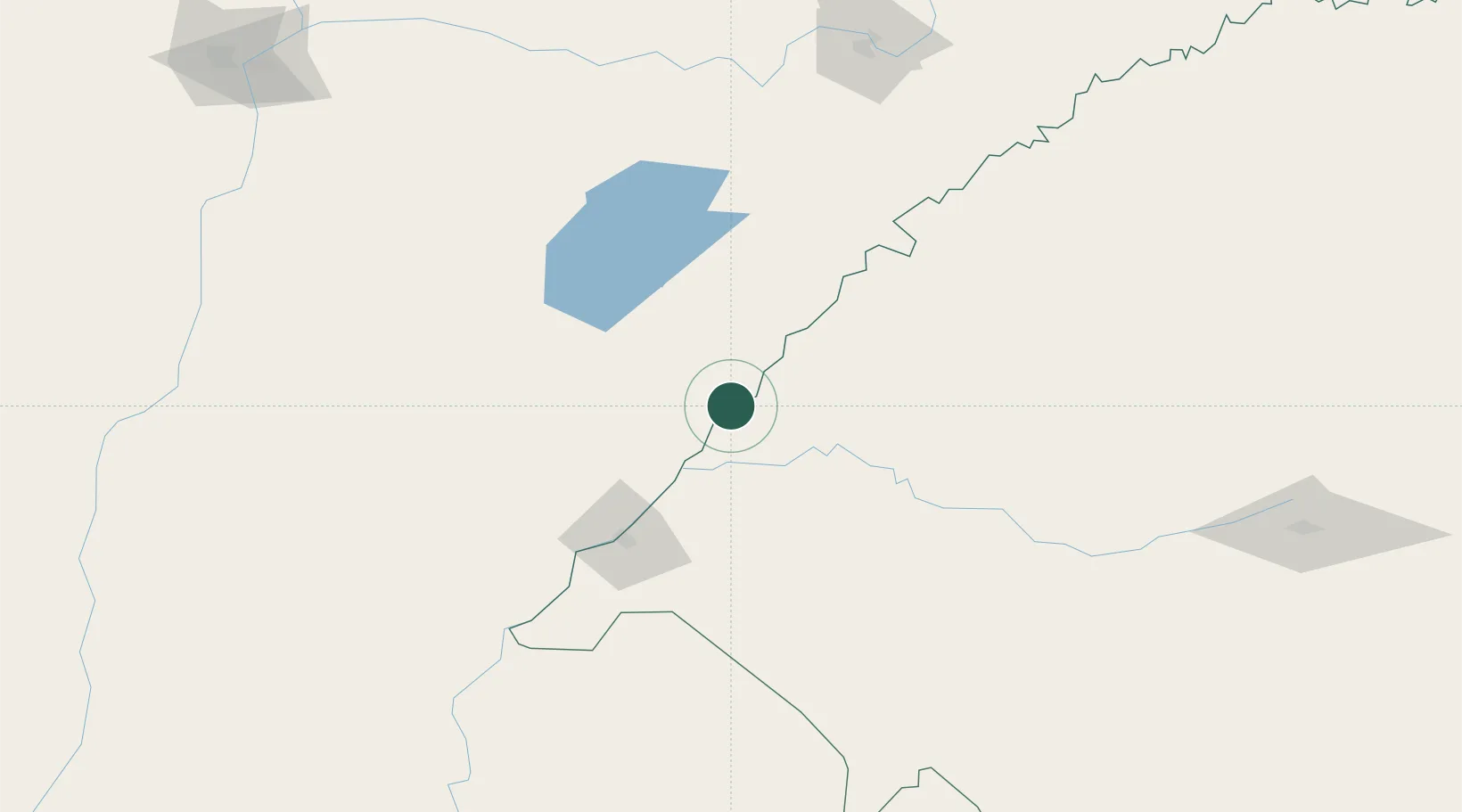
Place type
Populated place
Region
Rio Grande do Sul
Population
35,768
Time zone
America/Sao_Paulo
Elevation
61 m
Location
Nearby Logistics Neighbours
Cities
- 1São Borja75 km
- 2Uruguaiana86 km
- 3Quaraí139 km
- 4Barra do Quaraí154 km
- 5Cacequi187 km
Ports
- 1Concordia291 km
- 2Colon377 km
- 3Paysandu384 km
- 4Concepcion Del Uruguay407 km
- 5Puerto De Asuncion443 km
Airports
- 1Paso De Los Libres Airport86 km
- 2Rubem Berta Airport88 km
- 3Curuzu Cuatia Airport156 km
- 4Monte Caseros Airport166 km
- 5Aeropuerto Nacional Juan de Ayolas196 km
Trade Zones
- 1Rivera Free Zone225 km
- 2Zona Franca Puerto Iguazu Free Trade Zone437 km
- 3Zona Franca Global442 km
- 4Zona Franca Internacional442 km
- 5UPM Fray Bentos Free Zone474 km
DatabookThe Record of Consolidated Knowledge
Brazil beyond logistics?