UN/LOCODE hub · Brazil
BRRBS
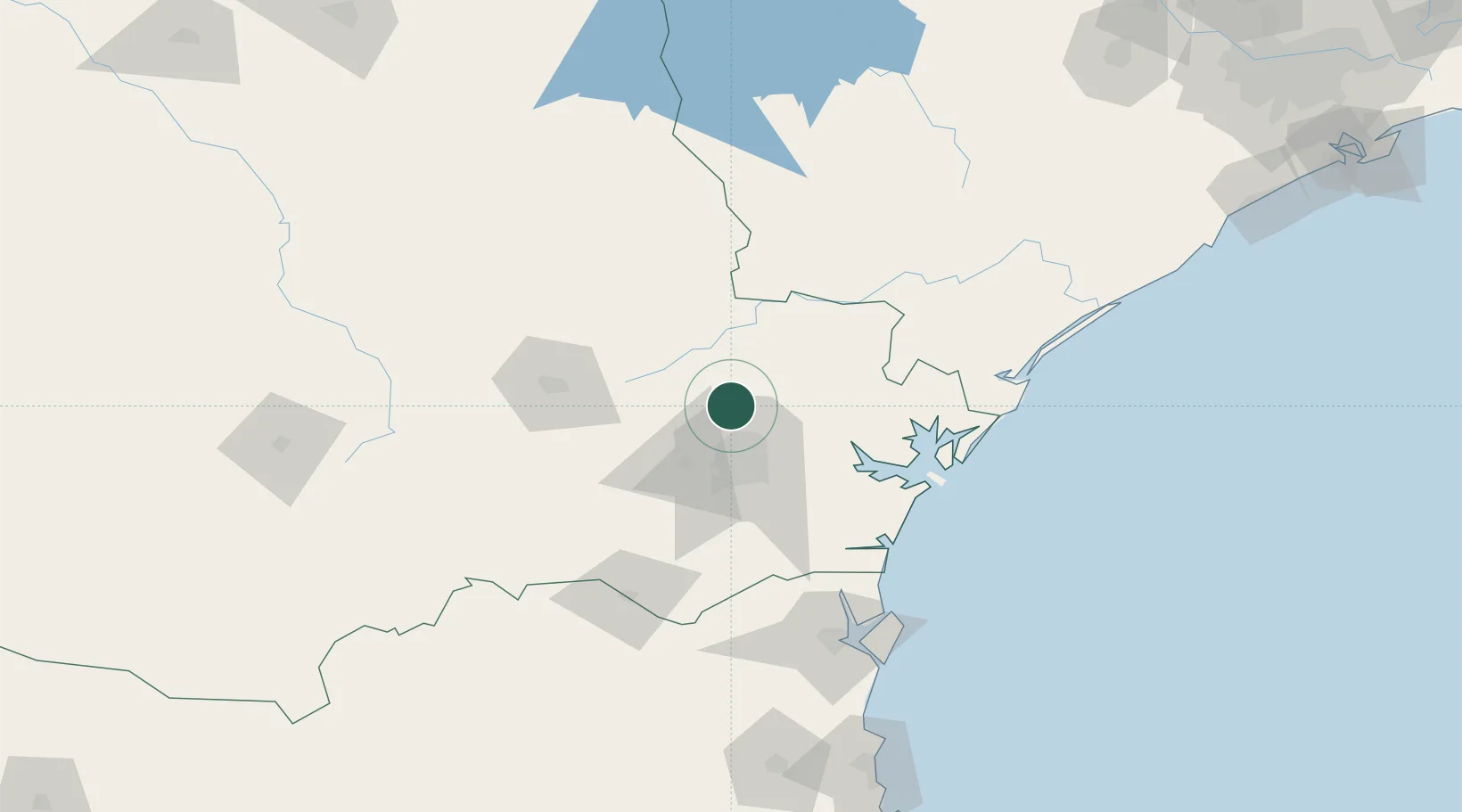
Rio Branco do Sul
-25.1833°, -49.3167°
37,558
Population
2
Transport functions
Transport Functions
Rail
Road
Hub Profile
Place type
Populated place
Region
Paraná
Population
37,558
Time zone
America/Sao_Paulo
Elevation
901 m
Location
Nearby Logistics Neighbours
Cities
- 1Almirante Tamandaré13 km
- 2Curitiba37 km
- 3Araucária45 km
- 4Antonina67 km
- 5Ponta Grossa85 km
Ports
- 1Paranagua88 km
- 2Sao Francisco137 km
- 3Itajai205 km
- 4Santos335 km
- 5Imbituba345 km
Airports
Trade Zones
- 1ZPE de Imbituba (SC)281 km
- 2ZPE de Bataguassú (MS)500 km
- 3Zona Franca Puerto Iguazu Free Trade Zone529 km
- 4Zona Franca Internacional543 km
- 5Zona Franca Global543 km
DatabookThe Record of Consolidated Knowledge
Brazil beyond logistics?