Transport Functions
Port
Road
Hub Profile
Place type
Populated place
Region
Paraná
Population
18,091
Time zone
America/Sao_Paulo
Elevation
9 m
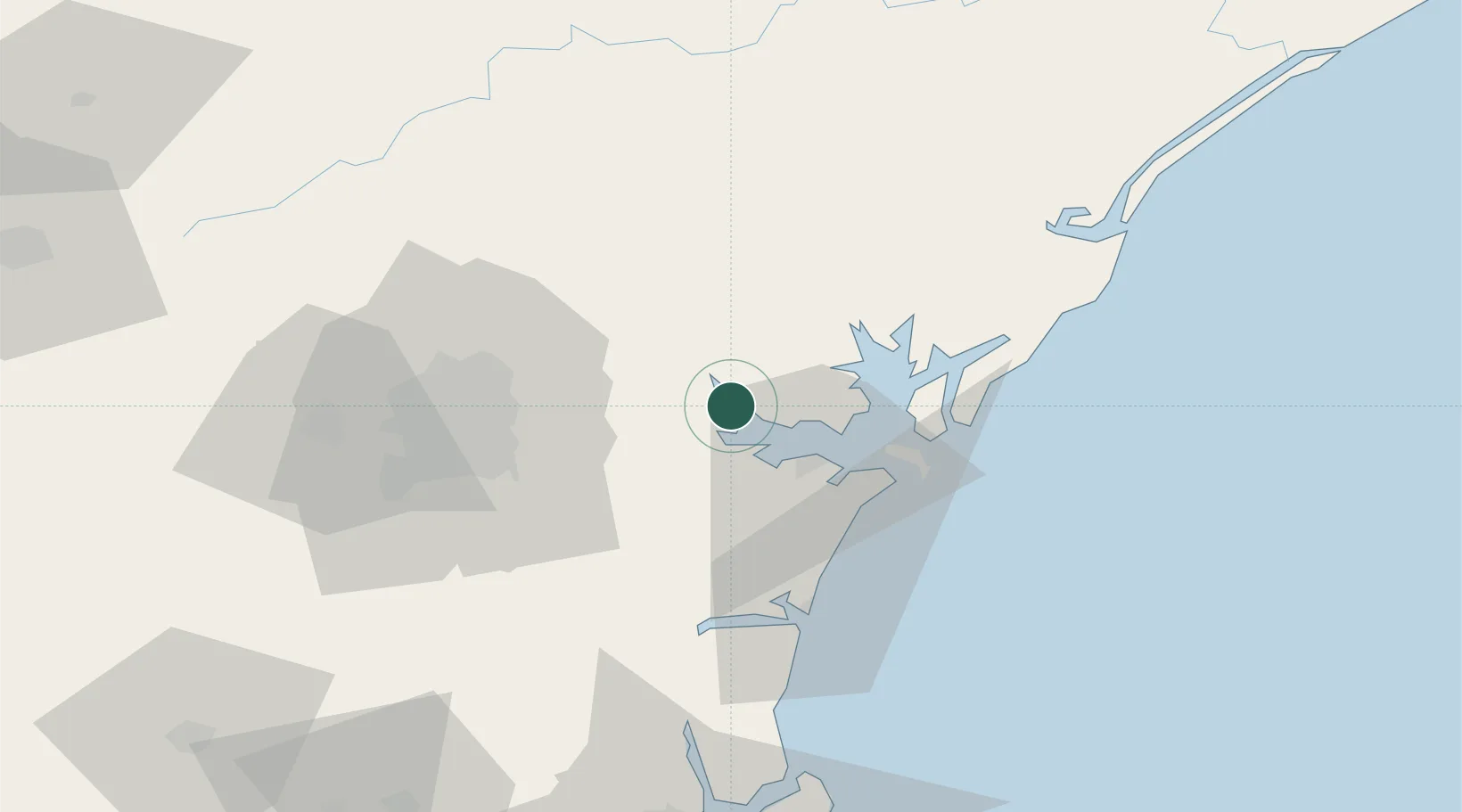
Location
Nearby Logistics Neighbours
Cities
- 1Paranaguá20 km
- 2Pontal do Paraná33 km
- 3Curitiba52 km
- 4Almirante Tamandaré62 km
- 5Rio Branco do Sul67 km
Ports
- 1Paranagua21 km
- 2Sao Francisco93 km
- 3Itajai167 km
- 4Santos292 km
- 5Imbituba313 km
Airports
Trade Zones
- 1ZPE de Imbituba (SC)245 km
- 2ZPE de Bataguassú (MS)561 km
- 3ZPE de Itaguaí (RJ)572 km
- 4Zona Franca Puerto Iguazu Free Trade Zone589 km
- 5ZPE de Fernandópolis (SP)591 km
DatabookThe Record of Consolidated Knowledge
Brazil beyond logistics?