Transport Functions
Multimodal
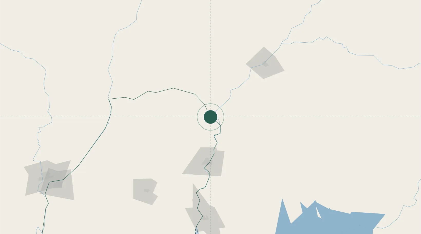
Hub Profile
Place type
Populated place
Region
Corrientes
Population
6,088
Time zone
America/Argentina/Cordoba
Elevation
22 m
Location
Nearby Logistics Neighbours
Cities
- 1Chajarí15 km
- 2Barra do Quaraí63 km
- 3San Salvador121 km
- 4Uruguaiana131 km
- 5Quaraí148 km
Ports
- 1Concordia86 km
- 2Colon177 km
- 3Paysandu187 km
- 4Concepcion Del Uruguay207 km
- 5Parana272 km
Airports
Trade Zones
- 1Rivera Free Zone233 km
- 2Zona Franca UPM278 km
- 3UPM Fray Bentos Free Zone278 km
- 4Nueva Palmira Free Zone364 km
- 5Montes de Plata Free Zone399 km
DatabookThe Record of Consolidated Knowledge
Argentina beyond logistics?