UN/LOCODE hub · Brazil
BRPNG
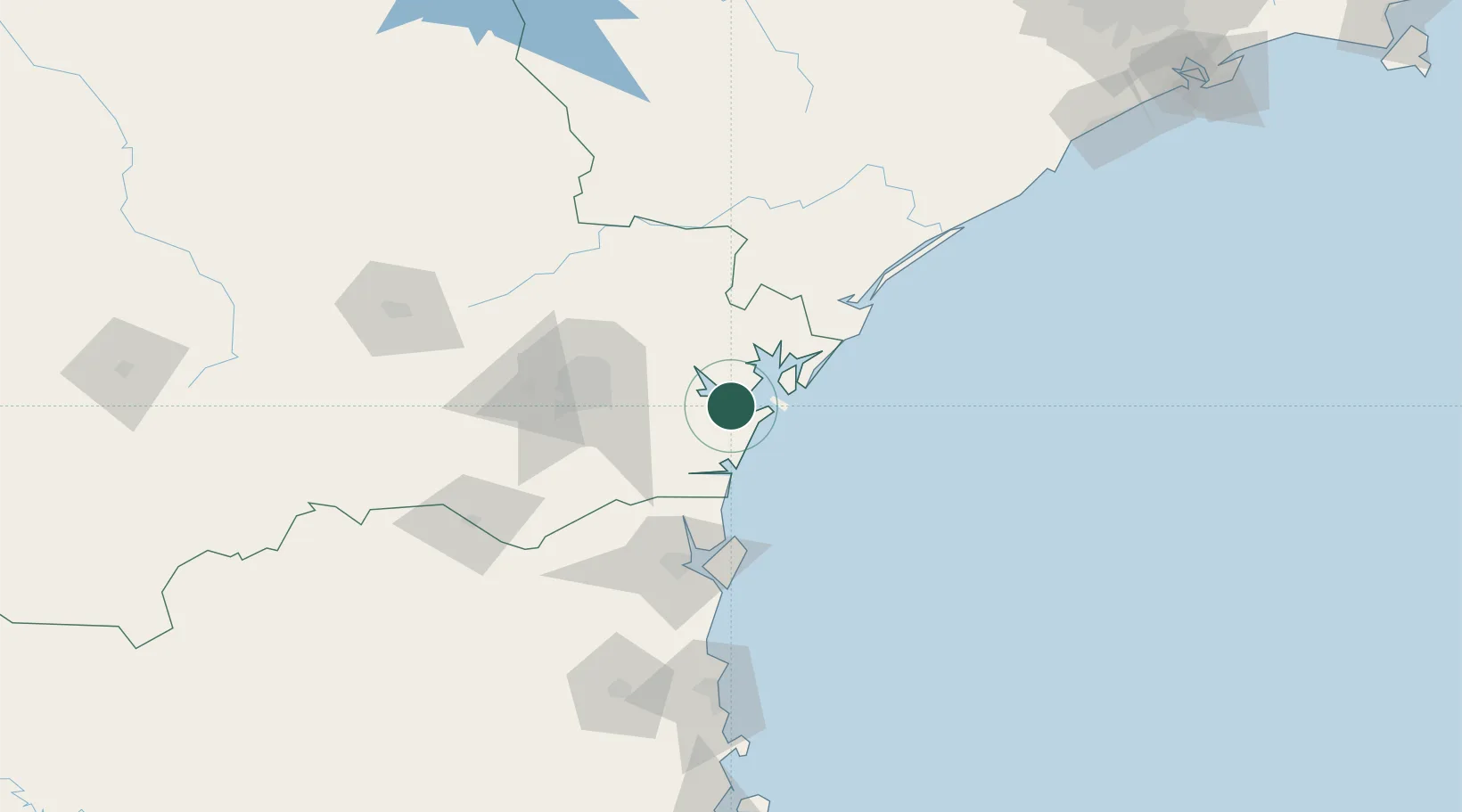
Paranaguá
-25.5438°, -48.5656°
141,013
Population
5
Transport functions
1
Container terminals
Transport Functions
Port
Rail
Road
Airport
Multimodal
Hub Profile
Place type
Populated place
Region
Paraná
Population
141,013
Time zone
America/Sao_Paulo
Elevation
12 m
Logistics facilities
18
Container terminals
1
Location
Nearby Logistics Neighbours
Cities
- 1Pontal do Paraná14 km
- 2Antonina20 km
- 3Curitiba65 km
- 4Itapoá67 km
- 5São Francisco do Sul78 km
Ports
- 1Sao Francisco79 km
- 2Itajai153 km
- 3Santos289 km
- 4Imbituba299 km
- 5Laguna329 km
Airports
Trade Zones
- 1ZPE de Imbituba (SC)230 km
- 2ZPE de Itaguaí (RJ)567 km
- 3ZPE de Bataguassú (MS)580 km
- 4Zona Franca Puerto Iguazu Free Trade Zone602 km
- 5ZPE de Fernandópolis (SP)609 km
DatabookThe Record of Consolidated Knowledge
Brazil beyond logistics?