Transport Functions
Rail
Road
Airport
Hub Profile
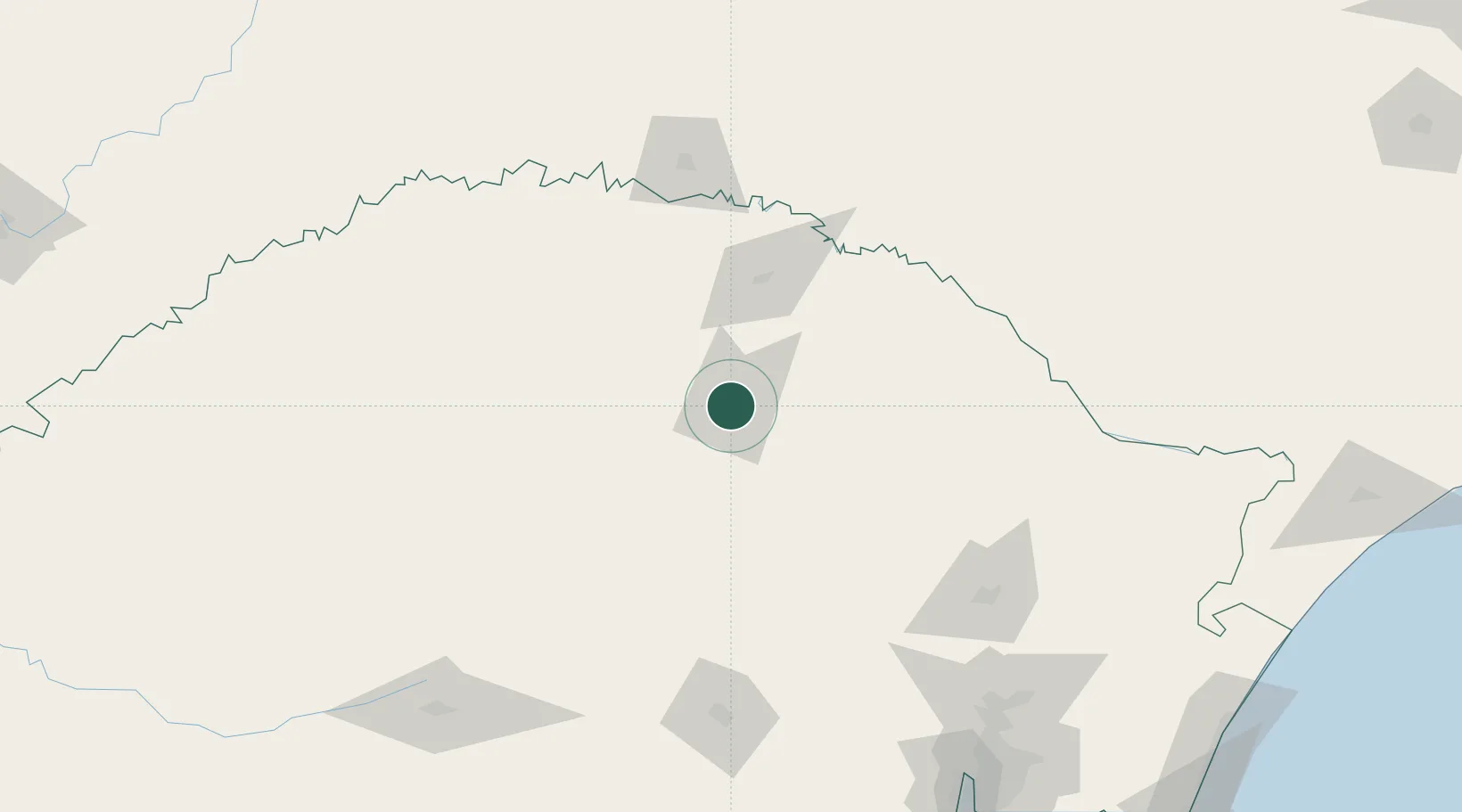
Place type
Populated place
Region
Rio Grande do Sul
Population
179,529
Time zone
America/Sao_Paulo
Elevation
689 m
Location
Nearby Logistics Neighbours
Cities
- 1Cruz Alta125 km
- 2Estrela145 km
- 3Ijuí149 km
- 4Caxias do Sul158 km
- 5Júlio de Castilhos164 km
Ports
- 1Porto Alegre228 km
- 2Tramandai293 km
- 3Laguna355 km
- 4Imbituba366 km
- 5Pelotas393 km
Airports
- 1Lauro Kurtz Airport7 km
- 2Serafin Enoss Bertaso Airport127 km
- 3Hugo Cantergiani Regional Airport158 km
- 4Santo Ângelo Airport173 km
- 5Canela Airport197 km
Trade Zones
- 1Zona Franca Puerto Iguazu Free Trade Zone364 km
- 2Zona Franca Internacional382 km
- 3Zona Franca Global383 km
- 4ZPE de Imbituba (SC)384 km
- 5ZPE de Rio Grande (RS)427 km
DatabookThe Record of Consolidated Knowledge
Brazil beyond logistics?