UN/LOCODE hub · Brazil
BRCXL

Caxias do Sul

-29.1667°, -51.1667°
381,270
Population
3
Transport functions

Transport Functions

Road
Airport
Multimodal
UN/LOCODE

Hub Profile

Place type
Populated place
GeoNames
Region
Rio Grande do Sul
GeoNames
Population
381,270
GeoNames
Time zone
America/Sao_Paulo
GeoNames
Elevation
787 m
GeoNames

Location

Location of BRCXL
Natural Earth 10m (public domain) · Rio Grande do Sul · BRCXL · -29.17, -51.17GoogleOSMYandex

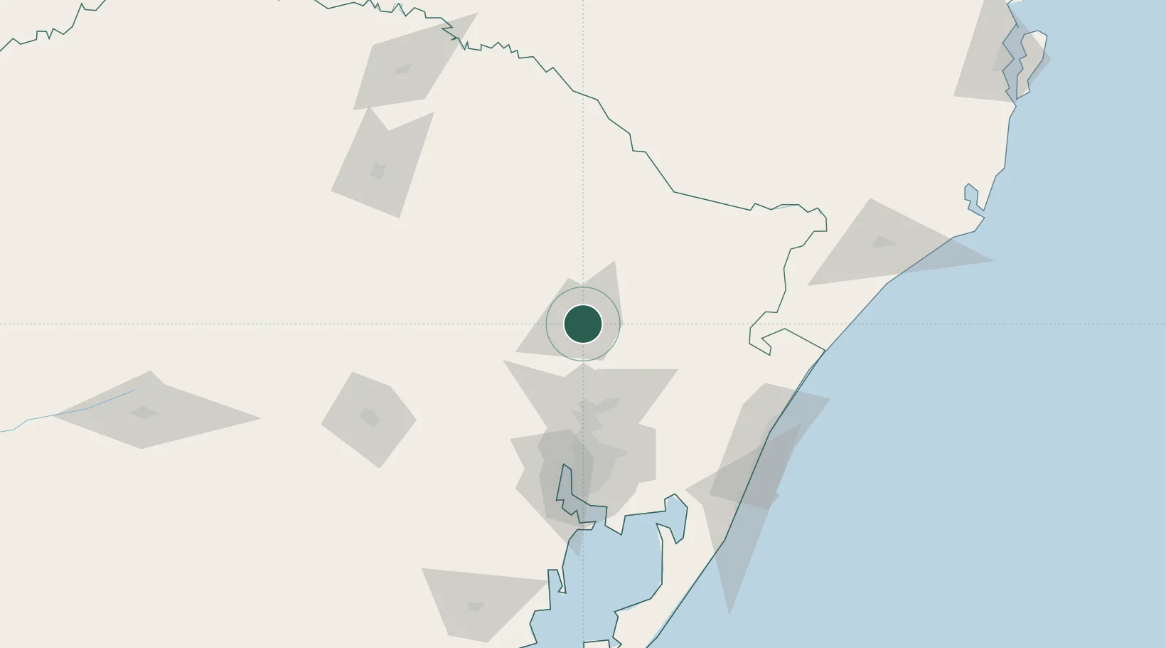
Nearby Logistics Neighbours

Cities
  1. 1Novo Hamburgo58 km
  2. 2Esteio76 km
  3. 3Canoas83 km
  4. 4Estrela86 km
  5. 5Porto Alegre95 km
Nearest neighbours — logibook spatial index (haversine) over the source coordinates
Ports
  1. 1Porto Alegre97 km
  2. 2Tramandai135 km
  3. 3Laguna244 km
  4. 4Imbituba265 km
  5. 5Pelotas312 km
Nearest neighbours — logibook spatial index (haversine) over the source coordinates
Airports
  1. 1Hugo Cantergiani Regional Airport4 km
  2. 2Canela Airport40 km
  3. 3Canoas Air Force Base87 km
  4. 4Porto Alegre-Salgado Filho International Airport92 km
  5. 5Lauro Kurtz Airport153 km
Nearest neighbours — logibook spatial index (haversine) over the source coordinates
Trade Zones
  1. 1ZPE de Imbituba (SC)309 km
  2. 2ZPE de Rio Grande (RS)339 km
  3. 3Rivera Free Zone466 km
  4. 4Zona Franca Puerto Iguazu Free Trade Zone519 km
  5. 5Zona Franca Internacional538 km
Nearest neighbours — logibook spatial index (haversine) over the source coordinates
DatabookThe Record of Consolidated Knowledge
Brazil beyond logistics?
Browse databook

All Sources

LocationsUN/LOCODE
UN/LOCODE — free
LocationsGeoNames
CC BY 4.0
Portsthe NGA World Port Index
Public domain (US gov)
AirportsOurAirports
Public domain
Trade Zonesthe World Bank SEZ database
CC BY 4.0
Trade ZonesOpen Zone Map
CC BY
← Brazil locations