Transport Functions
Road
Multimodal
Hub Profile
Place type
Populated place
Region
São Paulo
Population
316,473
Time zone
America/Sao_Paulo
Elevation
729 m
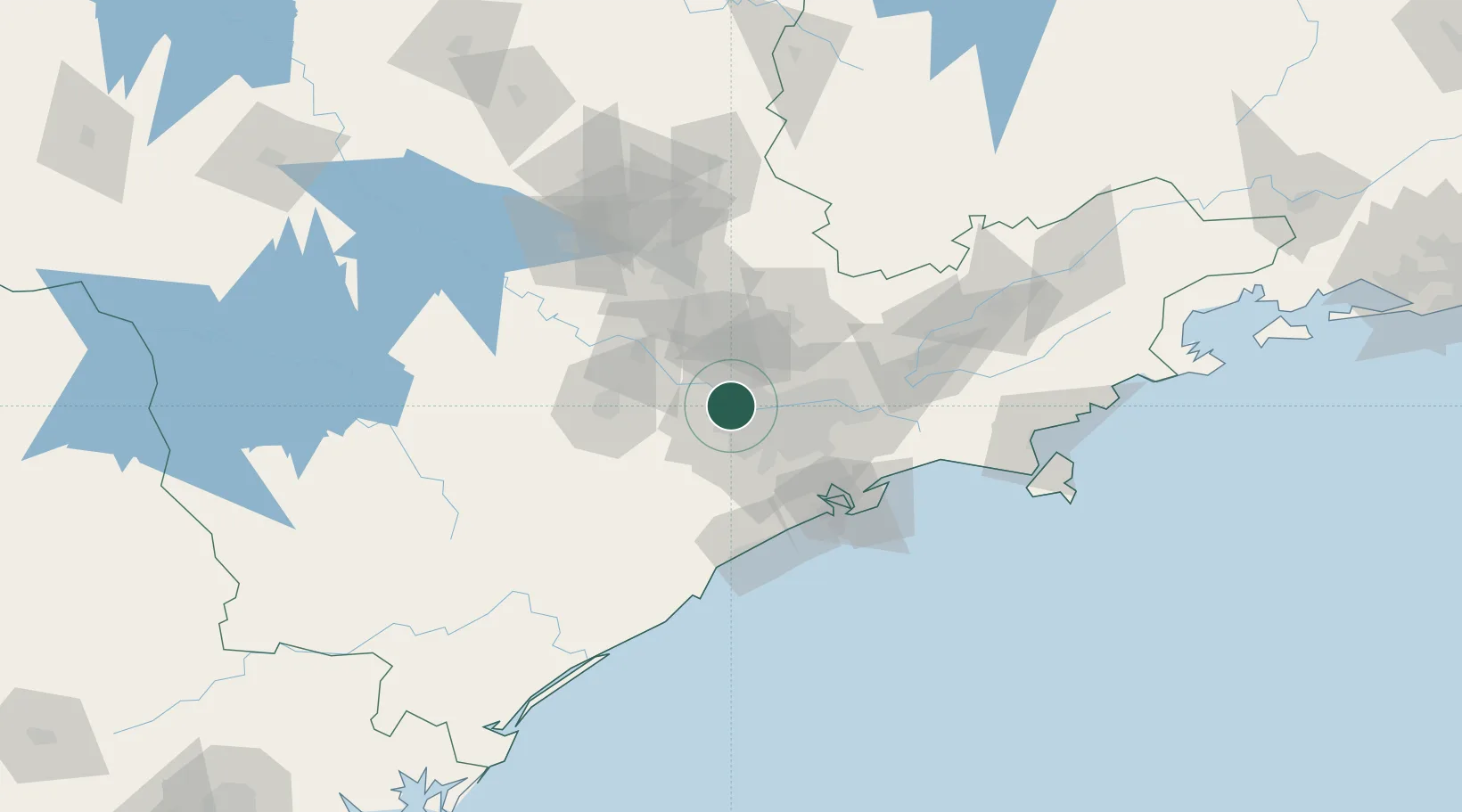
Location
Nearby Logistics Neighbours
Cities
- 1São Caetano do Sul33 km
- 2Jundiaí34 km
- 3Várzea Paulista34 km
- 4Guarulhos36 km
- 5São Bernardo do Campo39 km
Ports
- 1Santos76 km
- 2Sao Sebastiao153 km
- 3Angra Dos Reis266 km
- 4Paranagua278 km
- 5Sao Francisco354 km
Airports
Trade Zones
- 1ZPE de Itaguaí (RJ)323 km
- 2ZPE de Uberaba (MG)438 km
- 3ZPE de Imbituba (SC)488 km
- 4ZPE de Fernandópolis (SP)500 km
- 5ZPE de Bataguassú (MS)603 km
DatabookThe Record of Consolidated Knowledge
Brazil beyond logistics?