Transport Functions
Rail
Road
Hub Profile
Place type
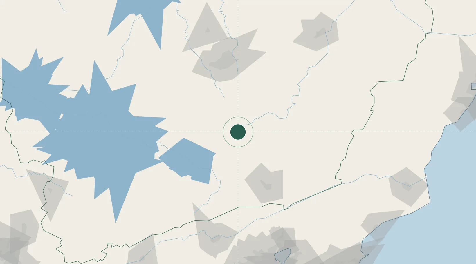
Populated place
Region
Minas Gerais
Population
23,812
Time zone
America/Sao_Paulo
Elevation
1,096 m
Location
Nearby Logistics Neighbours
Cities
- 1Barbacena30 km
- 2Ouro Branco50 km
- 3Congonhas50 km
- 4São João del Rei51 km
- 5Jeceaba52 km
Ports
- 1Niteroi226 km
- 2Rio De Janeiro227 km
- 3Angra Dos Reis236 km
- 4Macae263 km
- 5Porto Do Forno290 km
Airports
Trade Zones
- 1ZPE de Itaguaí (RJ)218 km
- 2ZPE do Açú (RJ)302 km
- 3ZPE de Aracruz (ES)414 km
- 4ZPE de Teófilo Otoni (MG)420 km
- 5ZPE de Uberaba (MG)458 km
DatabookThe Record of Consolidated Knowledge
Brazil beyond logistics?