Transport Functions
Rail
Road
Hub Profile
Place type
Populated place
Region
Minas Gerais
Population
125,317
Time zone
America/Sao_Paulo
Elevation
1,171 m
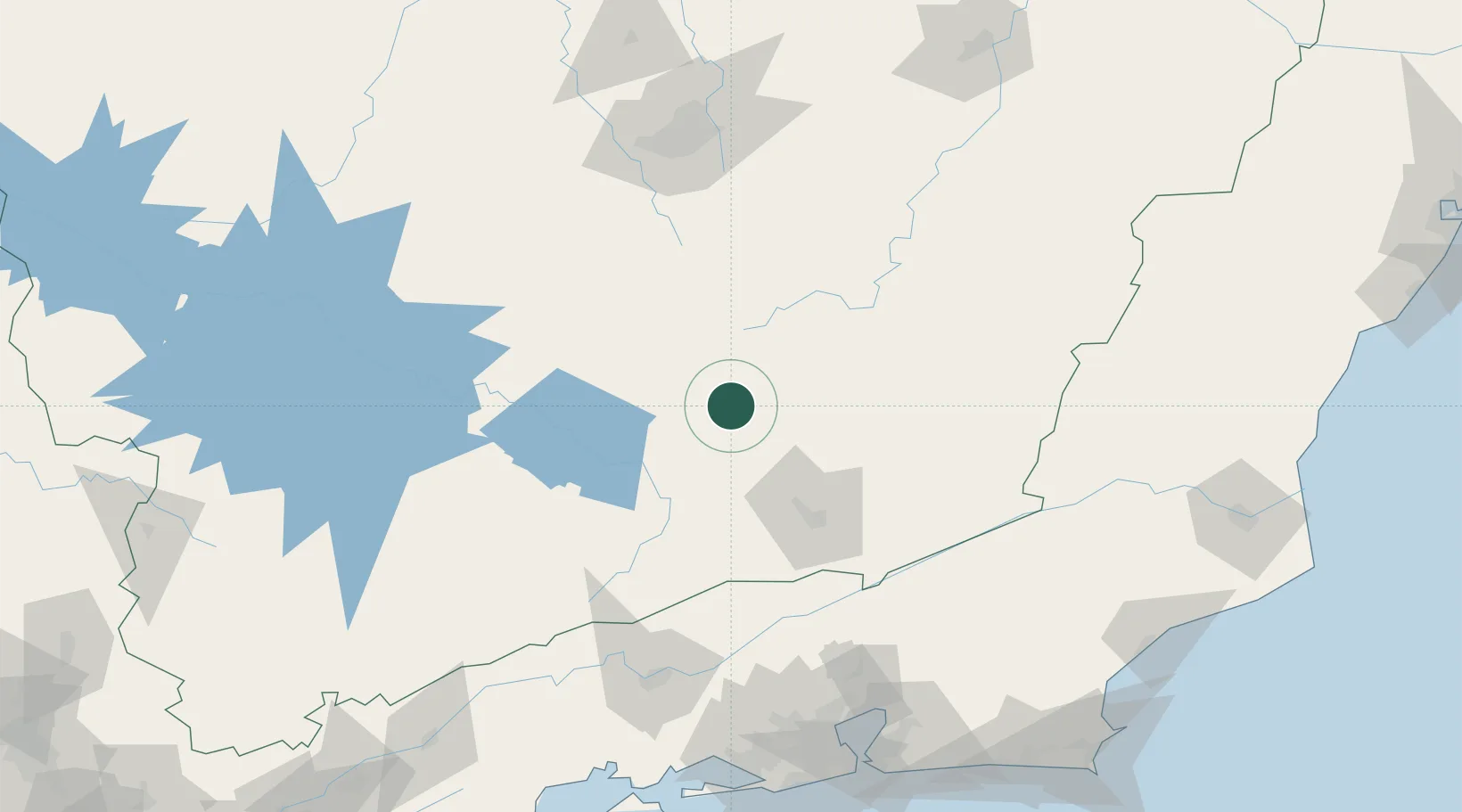
Location
Nearby Logistics Neighbours
Cities
- 1Carandaí30 km
- 2São João del Rei51 km
- 3Juiz de Fora74 km
- 4Ouro Branco78 km
- 5Congonhas80 km
Ports
- 1Niteroi197 km
- 2Rio De Janeiro197 km
- 3Angra Dos Reis208 km
- 4Macae243 km
- 5Porto Do Forno265 km
Airports
Trade Zones
- 1ZPE de Itaguaí (RJ)188 km
- 2ZPE do Açú (RJ)290 km
- 3ZPE de Aracruz (ES)421 km
- 4ZPE de Teófilo Otoni (MG)443 km
- 5ZPE de Uberaba (MG)471 km
DatabookThe Record of Consolidated Knowledge
Brazil beyond logistics?