Medium airport · Brazil
Natal Air Force BaseSBNT
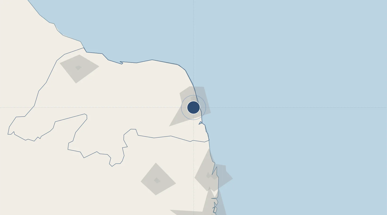
-5.9114°, -35.2477°
8,530 ft
Longest runway
3
Runways
171 ft
Elevation
Runway & Layout

Radio Frequencies
ATIS
132.65 MHz
NATAL ATIS
TWR
118.7 MHz
NATAL TWR
GND
121.9 MHz
APP
119.3 MHz
NATAL APP
OPS
122.5 MHz
NATAL OPS
Navaids
NTL VOR-DME Natal 114.30 MHz
NTL NDB Natal 400 kHz
Runways · 3
| Runway | Dimensions | Surface | True heading | Lit |
|---|---|---|---|---|
| 16L/34R | 8,530 × 148ft | Asphalt | 141° | — |
| 12/30 | 5,987 × 148ft | Asphalt | 099° | — |
| 16R/34L | 5,905 × 148ft | Asphalt | 141° | — |
Airport Specifications
ICAO code
SBNT
Airport class
Medium airport
Scheduled service
No
Runway surface
Asphalt
Served city
Natal
Location
Nearby Logistics Neighbours
Airports
Cities
- 1Natal16 km
- 2Cabedelo Pt / João Pessoa126 km
- 3Galinhos146 km
- 4Guamaré149 km
- 5Macau178 km
Ports
- 1Natal15 km
- 2Cabedelo126 km
- 3Guamare Oil Terminal163 km
- 4Recife242 km
- 5Porto De Suape278 km
Trade Zones
- 1ZPE de Macaíba (RN)23 km
- 2ZPE de João Pessoa (PB)141 km
- 3ZPE de Suape (PE)278 km
- 4ZPE de Pecém (CE) ( Port of Pecém)476 km
- 5ZPE de Barra dos Coqueiros (SE)588 km
DatabookThe Record of Consolidated Knowledge
Brazil beyond logistics?