Transport Functions
Port
Road
Hub Profile
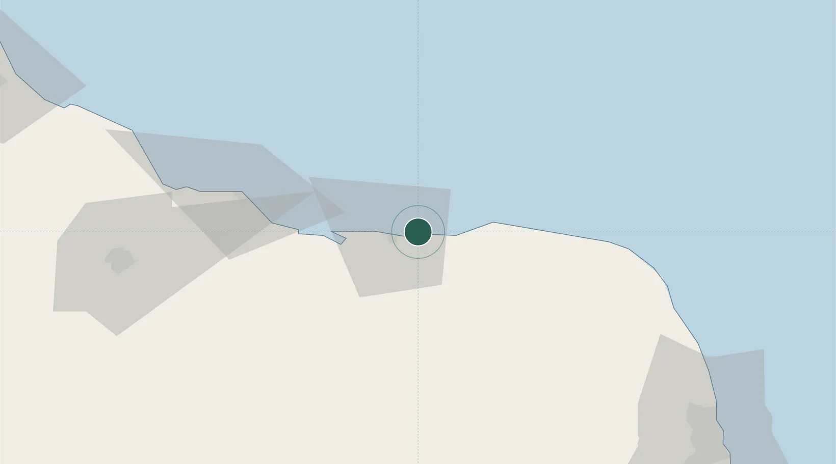
Place type
Populated place
Region
Rio Grande do Norte
Population
2,104
Time zone
America/Fortaleza
Elevation
3 m
Location
Nearby Logistics Neighbours
Cities
- 1Guamaré6 km
- 2Macau41 km
- 3Areia Branca95 km
- 4Mossoró121 km
- 5Natal140 km
Ports
- 1Guamare Oil Terminal24 km
- 2Natal141 km
- 3Cabedelo263 km
- 4Recife364 km
- 5Porto De Suape396 km
Airports
Trade Zones
- 1ZPE de Macaíba (RN)126 km
- 2ZPE de João Pessoa (PB)272 km
- 3ZPE de Pecém (CE) ( Port of Pecém)331 km
- 4ZPE de Suape (PE)395 km
- 5ZPE de Barra dos Coqueiros (SE)652 km
DatabookThe Record of Consolidated Knowledge
Brazil beyond logistics?