Large airport · Brazil

Rio Grande do Norte/São Gonçalo do Amarante–Governador Aluízio Alves International AirportSBSG
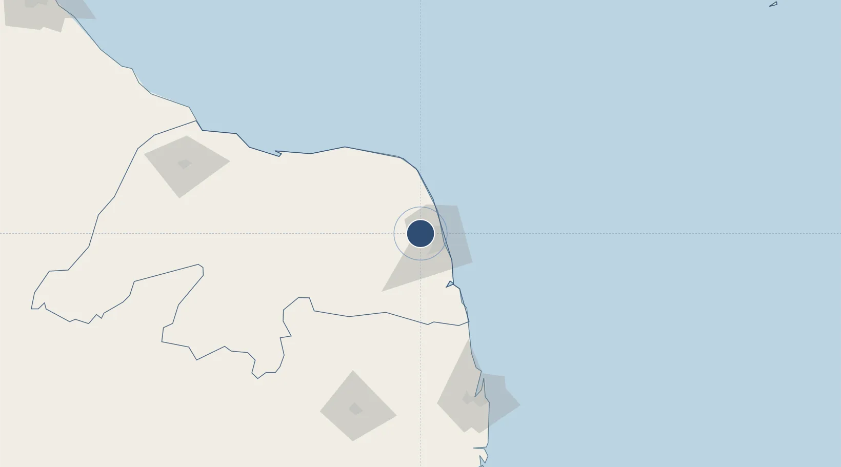
-5.7698°, -35.3666°
9,843 ft
Longest runway
1
Runways
273 ft
Elevation

Runway & Layout

Rio Grande do Norte/São Gonçalo do Amarante–Governador Aluízio Alves International Airport runway & taxiway layout
Runway & taxiway layout — OpenStreetMap (ODbL) / OurAirports

Radio Frequencies

ATIS
127.6 MHz
TWR
118.2 MHz
ILS
109.7 MHz
OurAirports

Runways · 1

RunwayDimensions SurfaceTrue headingLit
12/30 9,843 × 197ft Asphalt 099°
OurAirports

Airport Specifications

IATA code
NAT
OurAirports
ICAO code
SBSG
OurAirports
Airport class
Large airport
OurAirports
Scheduled service
Yes
OurAirports
Runway surface
Asphalt
OurAirports
Served city
Natal
OurAirports

Location

Location of SBSG
Natural Earth 10m (public domain) · Rio Grande do Norte · SBSG · -5.77, -35.37GoogleOSMYandex

Nearby Logistics Neighbours

Airports
  1. 1Natal Air Force Base21 km
  2. 2Presidente Castro Pinto International Airport160 km
  3. 3Presidente João Suassuna Airport177 km
  4. 4Dix-Sept Rosado Airport230 km
  5. 5Recife/Guararapes - Gilberto Freyre International Airport267 km
Nearest neighbours — logibook spatial index (haversine) over the source coordinates
Cities
  1. 1Natal18 km
  2. 2Galinhos126 km
  3. 3Guamaré129 km
  4. 4Cabedelo Pt / João Pessoa146 km
  5. 5Macau159 km
Nearest neighbours — logibook spatial index (haversine) over the source coordinates
Ports
  1. 1Natal19 km
  2. 2Guamare Oil Terminal143 km
  3. 3Cabedelo146 km
  4. 4Recife260 km
  5. 5Porto De Suape296 km
Nearest neighbours — logibook spatial index (haversine) over the source coordinates
Trade Zones
  1. 1ZPE de Macaíba (RN)16 km
  2. 2ZPE de João Pessoa (PB)160 km
  3. 3ZPE de Suape (PE)295 km
  4. 4ZPE de Pecém (CE) ( Port of Pecém)456 km
  5. 5ZPE de Barra dos Coqueiros (SE)599 km
Nearest neighbours — logibook spatial index (haversine) over the source coordinates
DatabookThe Record of Consolidated Knowledge
Brazil beyond logistics?
Browse databook

All Sources

AirportsOurAirports
Public domain
Portsthe NGA World Port Index
Public domain (US gov)
LocationsUN/LOCODE
UN/LOCODE — free
Trade Zonesthe World Bank SEZ database
CC BY 4.0
Trade ZonesOpen Zone Map
CC BY
InfrastructureOpenStreetMap
ODbL 1.0
← Brazil airports