Transport Functions
Port
Road
Airport
Hub Profile
Place type
Populated place
Region
Bahia
Population
155,499
Time zone
America/Bahia
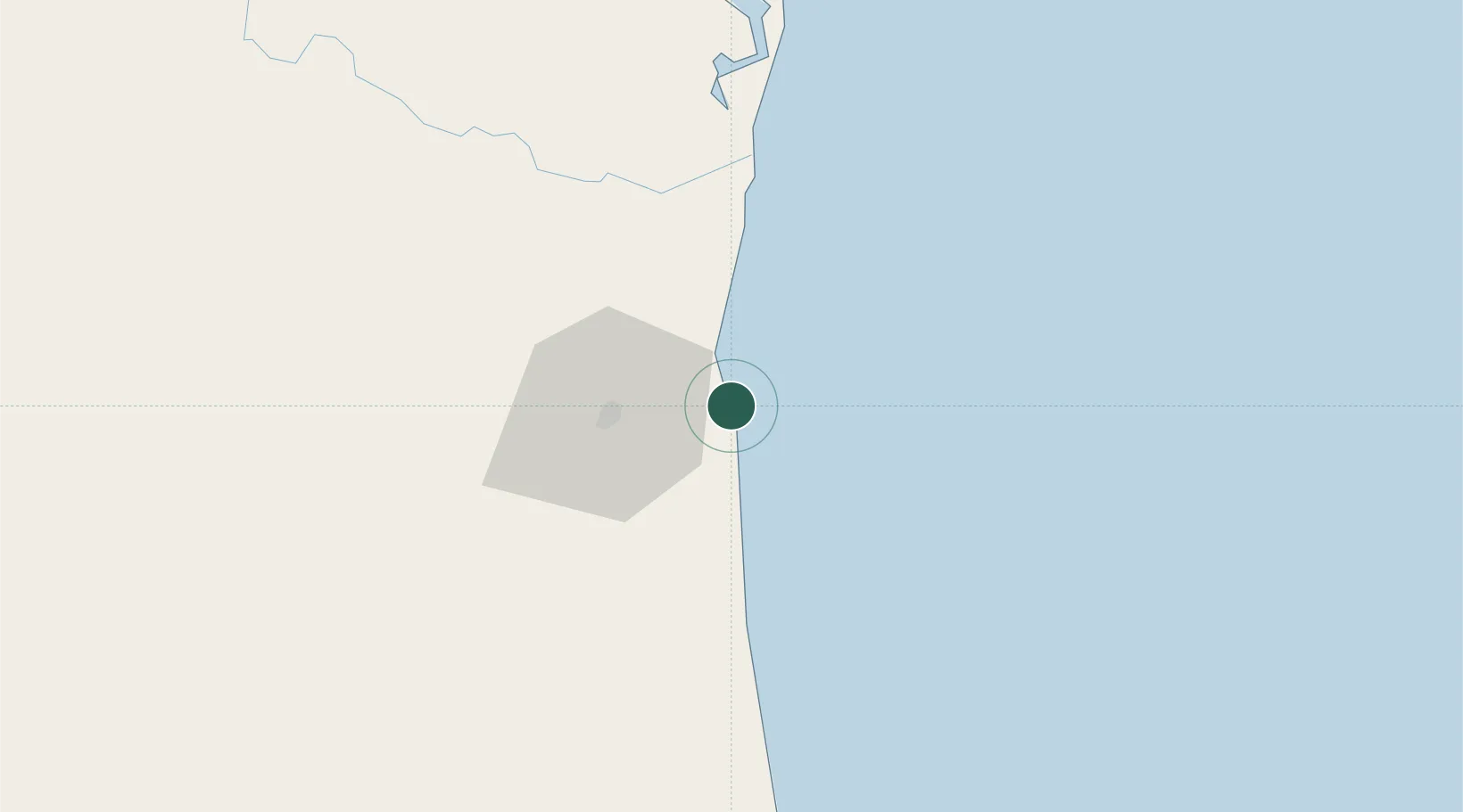
Location
Nearby Logistics Neighbours
Cities
- 1Belmonte120 km
- 2Salvador122 km
- 3Maragogipe225 km
- 4Simões Filho227 km
- 5Aratu Pt / Candeias230 km
Ports
- 1Port De Salvador210 km
- 2Aratu230 km
- 3Madre De Deus231 km
- 4Port De Aracaju481 km
- 5Tubarao625 km
Airports
- 1Bahia - Jorge Amado Airport4 km
- 2Una-Comandatuba Airport64 km
- 3Barra Grande Airport98 km
- 4Morro de São Paulo Airport151 km
- 5Valença Airport165 km
Trade Zones
- 1Zona Franca Ilhéus (BA)37 km
- 2ZPE de Teófilo Otoni (MG)431 km
- 3ZPE de Barra dos Coqueiros (SE)483 km
- 4ZPE de Aracruz (ES)562 km
- 5ZPE do Açú (RJ)812 km
DatabookThe Record of Consolidated Knowledge
Brazil beyond logistics?