UN/LOCODE hub · Brazil
BRSSA
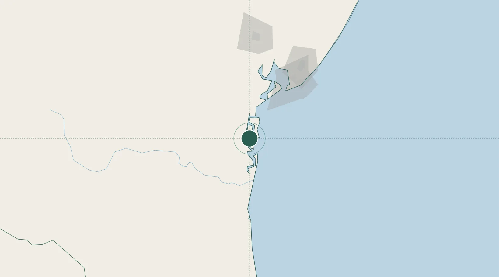
Salvador
-13.6848°, -39.0400°
2,711,840
Population
4
Transport functions
1
Container terminals
Transport Functions
Port
Road
Airport
Multimodal
Hub Profile
Place type
Regional capital
Region
Bahia
Population
2,711,840
Time zone
America/Bahia
Elevation
4 m
Logistics facilities
13
Container terminals
1
Location
Nearby Logistics Neighbours
Cities
- 1Maragogipe103 km
- 2Simões Filho116 km
- 3Madre de Deus116 km
- 4Aratu Pt / Candeias116 km
- 5Ilhéus122 km
Ports
- 1Madre De Deus114 km
- 2Aratu116 km
- 3Port Of Ilheus122 km
- 4Port De Aracaju376 km
- 5Porto De Maceio574 km
Airports
Trade Zones
- 1Zona Franca Ilhéus (BA)103 km
- 2ZPE de Barra dos Coqueiros (SE)379 km
- 3ZPE de Teófilo Otoni (MG)534 km
- 4ZPE de Aracruz (ES)683 km
- 5ZPE de Suape (PE)737 km
DatabookThe Record of Consolidated Knowledge
Brazil beyond logistics?