Medium airport · Brazil
Bahia - Jorge Amado AirportSBIL
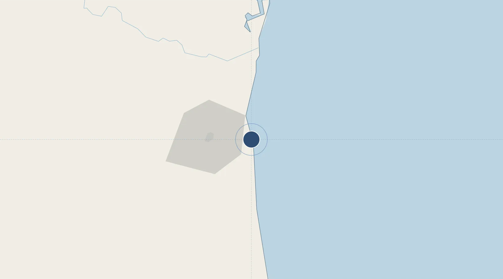
-14.8159°, -39.0335°
5,174 ft
Longest runway
1
Runways
15 ft
Elevation
Runway & Layout

Radio Frequencies
APP
120.1 MHz
Navaids
YLH NDB Ilheus 305 kHz
Runways · 1
| Runway | Dimensions | Surface | True heading | Lit |
|---|---|---|---|---|
| 11/29 | 5,174 × 148ft | Asphalt | — | — |
Airport Specifications
IATA code
IOS
ICAO code
SBIL
Airport class
Medium airport
Scheduled service
Yes
Runway surface
Asphalt
Served city
Ilhéus
Location
Nearby Logistics Neighbours
Airports
- 1Una-Comandatuba Airport60 km
- 2Barra Grande Airport102 km
- 3Morro de São Paulo Airport155 km
- 4Valença Airport169 km
- 5Porto Seguro International Airport181 km
Cities
- 1Ilhéus4 km
- 2Belmonte116 km
- 3Salvador126 km
- 4Maragogipe228 km
- 5Simões Filho230 km
Ports
- 1Port Of Ilheus4 km
- 2Port De Salvador213 km
- 3Aratu233 km
- 4Madre De Deus234 km
- 5Port De Aracaju484 km
Trade Zones
- 1Zona Franca Ilhéus (BA)40 km
- 2ZPE de Teófilo Otoni (MG)428 km
- 3ZPE de Barra dos Coqueiros (SE)487 km
- 4ZPE de Aracruz (ES)559 km
- 5ZPE do Açú (RJ)809 km
DatabookThe Record of Consolidated Knowledge
Brazil beyond logistics?