Small airport · Brazil

Fazenda Nova AirportSWGT
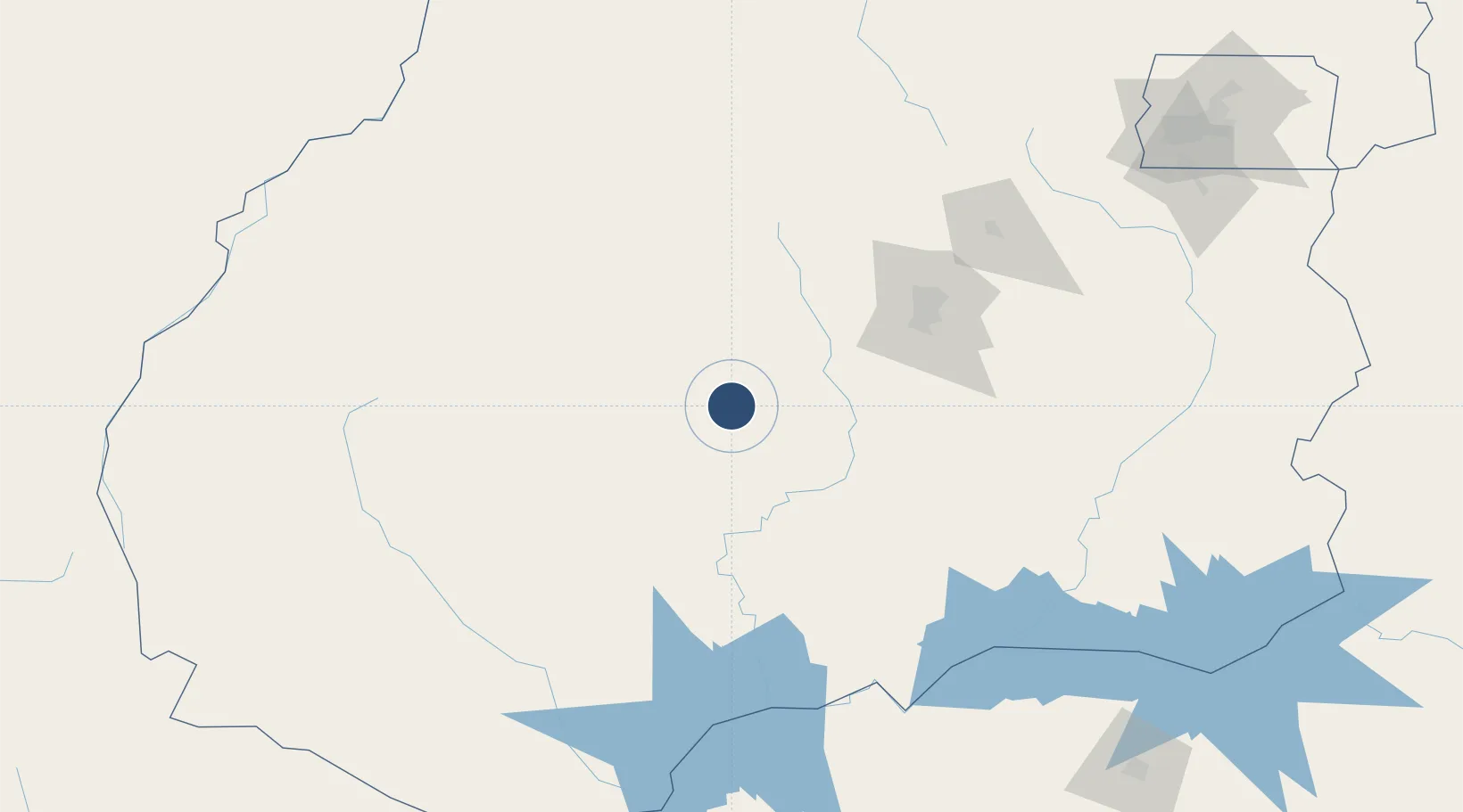
-17.1729°, -50.2085°
3,937 ft
Longest runway
1
Runways
1,909 ft
Elevation

Runway & Layout

Fazenda Nova Airport runway & taxiway layout
Runway & taxiway layout — OpenStreetMap (ODbL) / OurAirports

Runways · 1

RunwayDimensions SurfaceTrue headingLit
1/19 3,937 × 62ft TER
OurAirports

Airport Specifications

ICAO code
SWGT
OurAirports
Airport class
Small airport
OurAirports
Scheduled service
Yes
OurAirports
Runway surface
TER
OurAirports
Served city
Jandaia
OurAirports

Location

Location of SWGT
Natural Earth 10m (public domain) · Goiás · SWGT · -17.17, -50.21GoogleOSMYandex

Nearby Logistics Neighbours

Airports
  1. 1Santa Genoveva International Airport121 km
  2. 2Anápolis Airbase169 km
  3. 3Nelson Ribeiro Guimarães Airport181 km
  4. 4Barra do Garças Airport274 km
  5. 5Ten. Cel. Aviador César Bombonato Airport283 km
Nearest neighbours — logibook spatial index (haversine) over the source coordinates
Cities
  1. 1Goiânia117 km
  2. 2Anápolis164 km
  3. 3São Simão204 km
  4. 4Pires do Rio207 km
  5. 5Ipameri227 km
Nearest neighbours — logibook spatial index (haversine) over the source coordinates
Ports
  1. 1Santos856 km
  2. 2Sao Sebastiao891 km
  3. 3Angra Dos Reis895 km
  4. 4Paranagua942 km
  5. 5Rio De Janeiro973 km
Nearest neighbours — logibook spatial index (haversine) over the source coordinates
Trade Zones
  1. 1ZPE de Fernandópolis (SP)348 km
  2. 2ZPE de Uberaba (MG)366 km
  3. 3ZPE de Bataguassú (MS)553 km
  4. 4ZPE de Cáceres806 km
  5. 5ZPE DE Corumbá814 km
Nearest neighbours — logibook spatial index (haversine) over the source coordinates
DatabookThe Record of Consolidated Knowledge
Brazil beyond logistics?
Browse databook

All Sources

AirportsOurAirports
Public domain
Portsthe NGA World Port Index
Public domain (US gov)
LocationsUN/LOCODE
UN/LOCODE — free
Trade Zonesthe World Bank SEZ database
CC BY 4.0
Trade ZonesOpen Zone Map
CC BY
InfrastructureOpenStreetMap
ODbL 1.0
← Brazil airports