Transport Functions
Port
Road
Airport
Hub Profile
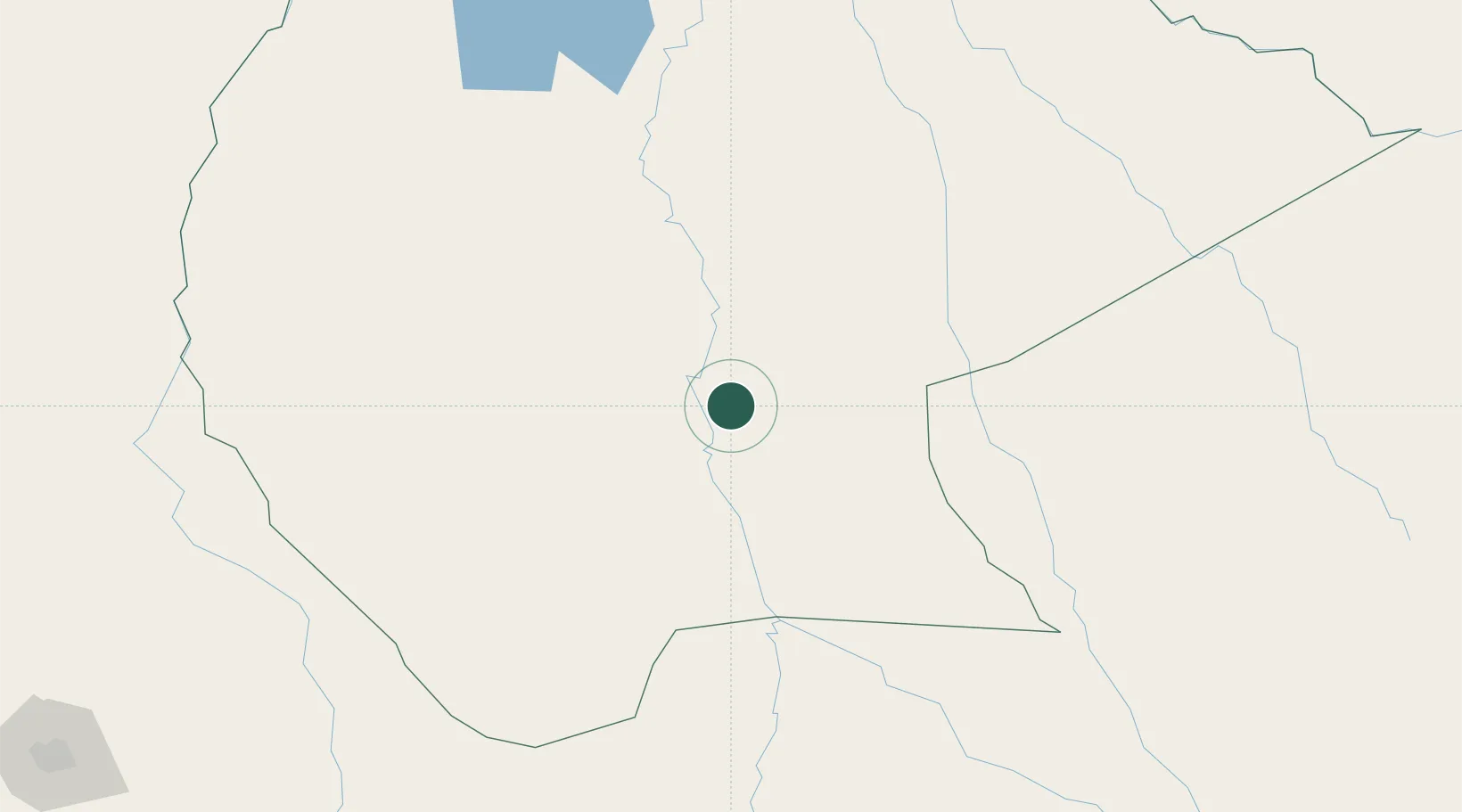
Place type
Regional capital
Region
Beni Department
Population
84,259
Time zone
America/La_Paz
Elevation
155 m
Location
Nearby Logistics Neighbours
Cities
- 1La Asunta277 km
- 2Rurrenabaque290 km
- 3Sipe Sipe331 km
- 4Santa Cruz364 km
- 5Aiquile372 km
Ports
- 1Rada De Arica706 km
- 2Puerto Ilo757 km
- 3Bahia De Matarani808 km
- 4Iquique817 km
- 5Caleta Patillos863 km
Airports
DatabookThe Record of Consolidated Knowledge
Bolivia beyond logistics?