Medium airport · Bolivia
Teniente Av. Jorge Henrich Arauz AirportSLTR
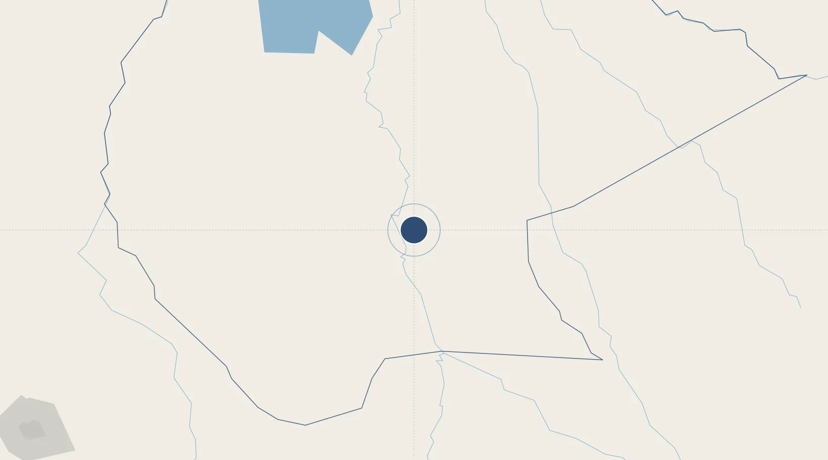
-14.8187°, -64.9180°
7,874 ft
Longest runway
1
Runways
509 ft
Elevation
Runway & Layout

Radio Frequencies
TWR
118.5 MHz
TRINIDAD TWR
GND
121.9 MHz
TRINIDAD GND
APP
119.1 MHz
TRINIDAD APP
RDO
662.2 MHz
TRINIDAD RDO
Navaids
TDD NDB Trinidad 210 kHz
TRI VOR-DME Trinidad 115.90 MHz
Runways · 1
| Runway | Dimensions | Surface | True heading | Lit |
|---|---|---|---|---|
| 14/32 | 7,874 × 98ft | Asphalt | 135° | ✓ |
Airport Specifications
IATA code
TDD
ICAO code
SLTR
Airport class
Medium airport
Scheduled service
Yes
Runway surface
Asphalt
Served city
Trinidad
Location
Nearby Logistics Neighbours
Airports
- 1Santa Ana Del Yacuma Airport130 km
- 2Chimore Airport241 km
- 3Rurrenabaque Airport281 km
- 4Jorge Wilsterman International Airport319 km
- 5Viru Viru International Airport367 km
Cities
- 1Trinidad3 km
- 2La Asunta276 km
- 3Rurrenabaque288 km
- 4Sipe Sipe332 km
- 5Santa Cruz366 km
Ports
- 1Rada De Arica705 km
- 2Puerto Ilo756 km
- 3Bahia De Matarani807 km
- 4Iquique817 km
- 5Caleta Patillos863 km
DatabookThe Record of Consolidated Knowledge
Bolivia beyond logistics?