Medium airport · Bolivia

Santa Ana Del Yacuma AirportSLSA
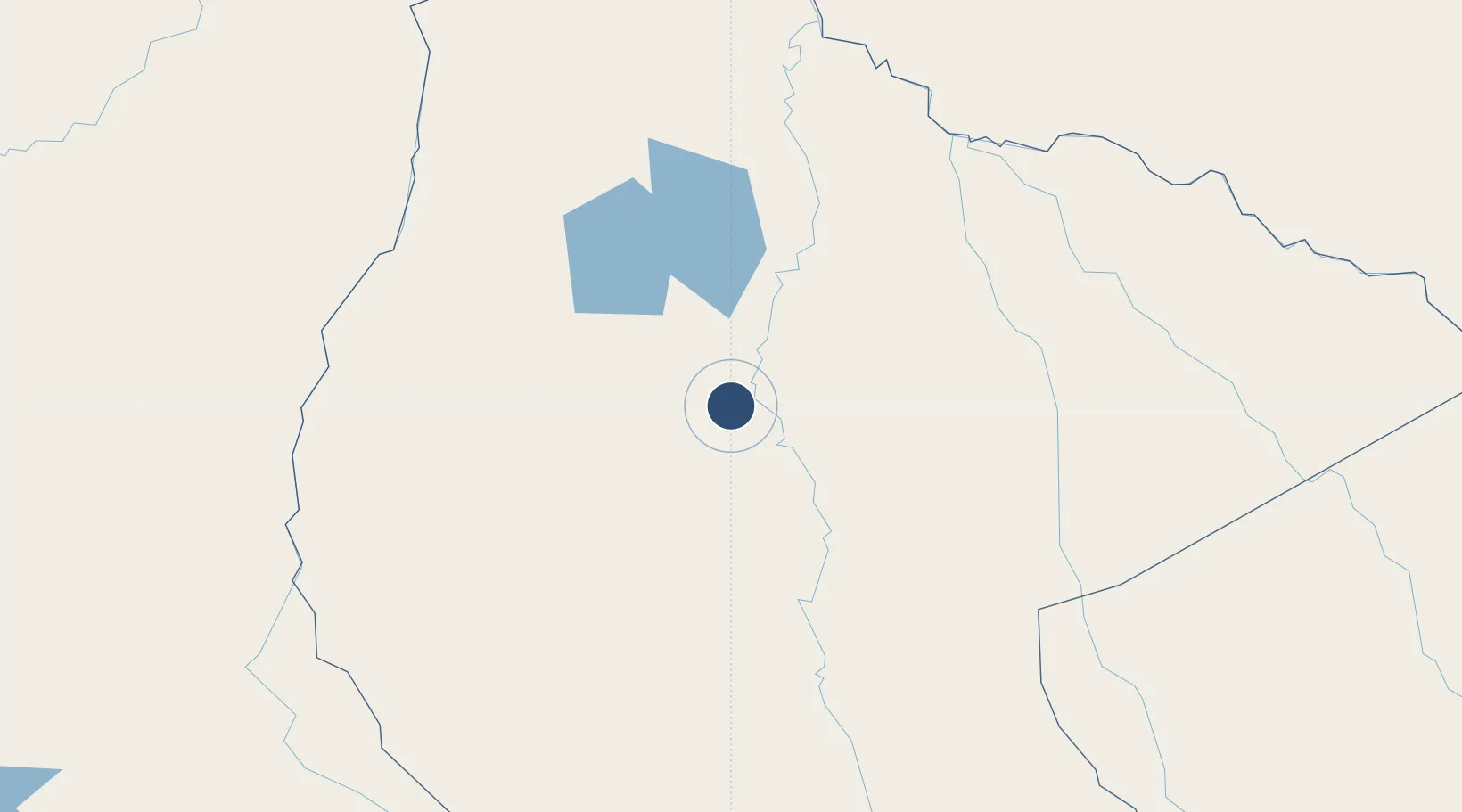
-13.7622°, -65.4352°
5,013 ft
Longest runway
1
Runways
472 ft
Elevation

Runway & Layout

Santa Ana Del Yacuma Airport runway & taxiway layout
Runway & taxiway layout — OpenStreetMap (ODbL) / OurAirports

Radio Frequencies

TWR
118.3 MHz
RDO
662.2 MHz
OurAirports

Navaids

ANA NDB Santa Ana 345 kHz
OurAirports

Runways · 1

RunwayDimensions SurfaceTrue headingLit
14/32 5,013 × 69ft Asphalt 140°
OurAirports

Airport Specifications

IATA code
SBL
OurAirports
ICAO code
SLSA
OurAirports
Airport class
Medium airport
OurAirports
Scheduled service
No
OurAirports
Runway surface
Asphalt
OurAirports
Served city
Santa Ana del Yacuma
OurAirports

Location

Location of SLSA
Natural Earth 10m (public domain) · El Beni · SLSA · -13.76, -65.44GoogleOSMYandex

Nearby Logistics Neighbours

Airports
  1. 1Teniente Av. Jorge Henrich Arauz Airport130 km
  2. 2Rurrenabaque Airport234 km
  3. 3Capitán Av. Selin Zeitun Lopez Airport314 km
  4. 4Guayaramerín Airport320 km
  5. 5Guajará-Mirim Airport331 km
Nearest neighbours — logibook spatial index (haversine) over the source coordinates
Cities
  1. 1Trinidad132 km
  2. 2Rurrenabaque243 km
  3. 3La Asunta314 km
  4. 4Riberalta317 km
  5. 5Guajará-Mirim333 km
Nearest neighbours — logibook spatial index (haversine) over the source coordinates
Ports
  1. 1Rada De Arica740 km
  2. 2Puerto Ilo767 km
  3. 3Bahia De Matarani802 km
  4. 4Iquique875 km
  5. 5Caleta Patillos926 km
Nearest neighbours — logibook spatial index (haversine) over the source coordinates
Trade Zones
  1. 1La Paz Commercial and Industrial Free Zone428 km
  2. 2Cobija Commercial and Industrial Free Zone468 km
  3. 3Zofrapat Commercial and Industrial Free Zone469 km
  4. 4ZPE do Acre (AC)472 km
  5. 5Santa Cruz Commercial and Industrial Free Zone489 km
Nearest neighbours — logibook spatial index (haversine) over the source coordinates
DatabookThe Record of Consolidated Knowledge
Bolivia beyond logistics?
Browse databook

All Sources

AirportsOurAirports
Public domain
Portsthe NGA World Port Index
Public domain (US gov)
LocationsUN/LOCODE
UN/LOCODE — free
Trade Zonesthe World Bank SEZ database
CC BY 4.0
Trade ZonesOpen Zone Map
CC BY
InfrastructureOpenStreetMap
ODbL 1.0
← Bolivia airports