Medium airport · Bolivia

San Ignacio de Velasco AirportSLSV
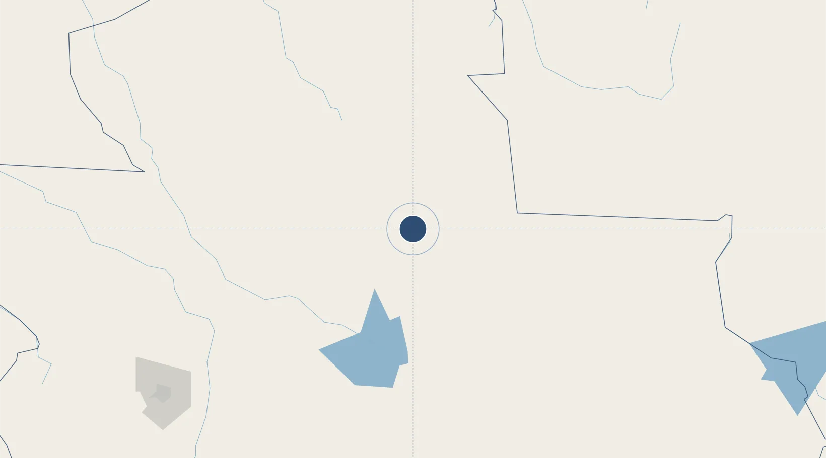
-16.4012°, -61.0452°
9,055 ft
Longest runway
1
Runways
1,477 ft
Elevation

Runway & Layout

San Ignacio de Velasco Airport runway & taxiway layout
Runway & taxiway layout — OpenStreetMap (ODbL) / OurAirports

Runways · 1

RunwayDimensions SurfaceTrue headingLit
18/36 9,055 × 148ft Asphalt 169°
OurAirports

Airport Specifications

ICAO code
SLSV
OurAirports
Airport class
Medium airport
OurAirports
Scheduled service
No
OurAirports
Runway surface
Asphalt
OurAirports
Served city
San Ignacio de Velasco
OurAirports

Location

Location of SLSV
Natural Earth 10m (public domain) · Santa Cruz · SLSV · -16.40, -61.05GoogleOSMYandex

Nearby Logistics Neighbours

Airports
  1. 1André Antônio Maggi Airport223 km
  2. 2Viru Viru International Airport262 km
  3. 3El Trompillo Airport275 km
  4. 4Brigadeiro Camarão Airport425 km
  5. 5Tangará da Serra Airport432 km
Nearest neighbours — logibook spatial index (haversine) over the source coordinates
Cities
  1. 1Vila Bela da Santíssima Trindade195 km
  2. 2Santa Cruz262 km
  3. 3Cáceres363 km
  4. 4Puerto Quijarro381 km
  5. 5Puerto Suárez446 km
Nearest neighbours — logibook spatial index (haversine) over the source coordinates
Ports
  1. 1Rada De Arica1012 km
  2. 2Puerto De Asuncion1046 km
  3. 3Iquique1051 km
  4. 4Caleta Patillos1078 km
  5. 5Puerto Ilo1106 km
Nearest neighbours — logibook spatial index (haversine) over the source coordinates
Trade Zones
  1. 1Santa Cruz Commercial and Industrial Free Zone259 km
  2. 2Winner Commercial and Industrial Free Zone269 km
  3. 3ZPE de Cáceres360 km
  4. 4Zona Franca Puerto Suárez444 km
  5. 5Central Aguirre Portuaria456 km
Nearest neighbours — logibook spatial index (haversine) over the source coordinates
DatabookThe Record of Consolidated Knowledge
Bolivia beyond logistics?
Browse databook

All Sources

AirportsOurAirports
Public domain
Portsthe NGA World Port Index
Public domain (US gov)
LocationsUN/LOCODE
UN/LOCODE — free
Trade Zonesthe World Bank SEZ database
CC BY 4.0
Trade ZonesOpen Zone Map
CC BY
InfrastructureOpenStreetMap
ODbL 1.0
← Bolivia airports