Transport Functions
Rail
Road
Hub Profile
Place type
Populated place
Region
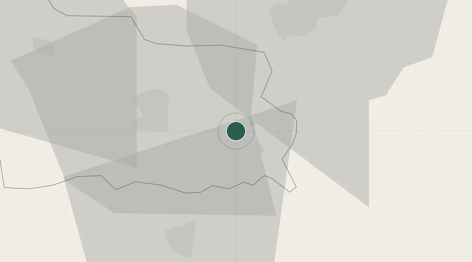
Gabrovo
Population
13,818
Time zone
Europe/Sofia
Elevation
488 m
Location
Nearby Logistics Neighbours
Cities
- 1Dryanovo13 km
- 2Dunavtsi29 km
- 3Lyaskovets31 km
- 4Gurkovo33 km
- 5Byala Cherkva41 km
Ports
- 1Burgas168 km
- 2Varna204 km
- 3Lagos210 km
- 4Alexandroupoli228 km
- 5Kavala234 km
Airports
- 1Gorna Oryahovitsa Airport36 km
- 2Bezmer Air Base83 km
- 3Graf Ignatievo Air Base91 km
- 4Plovdiv International Airport104 km
- 5Dolna Mitropoliya Air Base104 km
Trade Zones
- 1Maritsa Industrial and Commercial Zone96 km
- 2Trakia Economic Zone100 km
- 3Kuklen Industrial and Commercial Zone109 km
- 4Free Zone Giurgiu120 km
- 5Rousse Free Zone121 km
DatabookThe Record of Consolidated Knowledge
Bulgaria beyond logistics?