Transport Functions
Rail
Road
Hub Profile
Place type
Populated place
Region
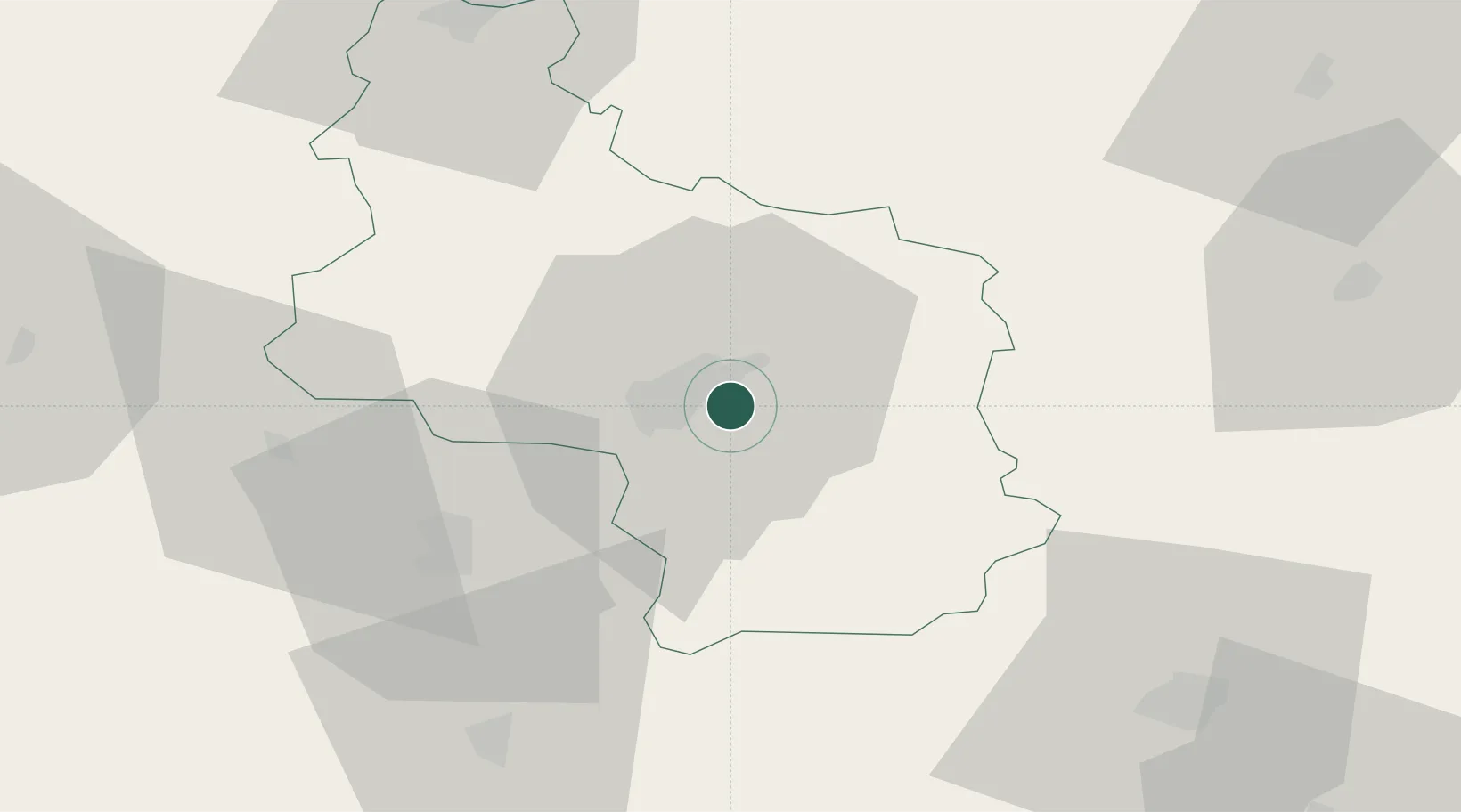
Veliko Tarnovo
Population
8,488
Time zone
Europe/Sofia
Elevation
174 m
Location
Nearby Logistics Neighbours
Cities
- 1Dryanovo23 km
- 2Tryavna31 km
- 3Byala Cherkva36 km
- 4Liaskovec40 km
- 5Gurkovo50 km
Ports
- 1Burgas160 km
- 2Varna183 km
- 3Lagos238 km
- 4Alexandroupoli252 km
- 5Kavala264 km
Airports
- 1Gorna Oryahovitsa Airport6 km
- 2Bezmer Air Base89 km
- 3Dolna Mitropoliya Air Base106 km
- 4Graf Ignatievo Air Base122 km
- 5Plovdiv International Airport135 km
Trade Zones
- 1Free Zone Giurgiu90 km
- 2Rousse Free Zone91 km
- 3Maritsa Industrial and Commercial Zone127 km
- 4Trakia Economic Zone131 km
- 5Kuklen Industrial and Commercial Zone140 km
DatabookThe Record of Consolidated Knowledge
Bulgaria beyond logistics?