Transport Functions
Rail
Road
Hub Profile
Place type
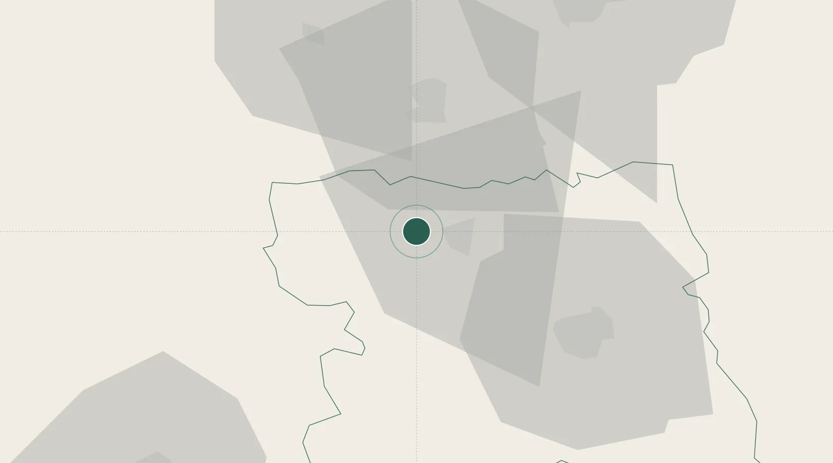
Populated place
Region
Stara Zagora
Time zone
Europe/Sofia
Elevation
409 m
Location
Nearby Logistics Neighbours
Ports
- 1Burgas180 km
- 2Lagos184 km
- 3Kavala205 km
- 4Alexandroupoli208 km
- 5Varna225 km
Airports
- 1Graf Ignatievo Air Base63 km
- 2Gorna Oryahovitsa Airport65 km
- 3Plovdiv International Airport75 km
- 4Bezmer Air Base89 km
- 5Dolna Mitropoliya Air Base110 km
Trade Zones
DatabookThe Record of Consolidated Knowledge
Bulgaria beyond logistics?