Transport Functions
Rail
Road
Hub Profile
Place type
Populated place
Region
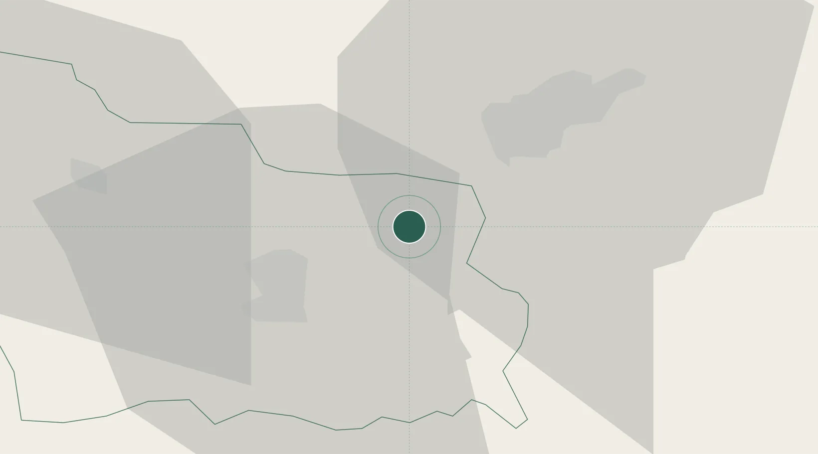
Gabrovo
Population
8,346
Time zone
Europe/Sofia
Elevation
256 m
Location
Nearby Logistics Neighbours
Cities
- 1Tryavna13 km
- 2Lyaskovets23 km
- 3Byala Cherkva28 km
- 4Dunavtsi40 km
- 5Gurkovo44 km
Ports
- 1Burgas173 km
- 2Varna203 km
- 3Lagos222 km
- 4Alexandroupoli241 km
- 5Kavala245 km
Airports
- 1Gorna Oryahovitsa Airport26 km
- 2Bezmer Air Base92 km
- 3Dolna Mitropoliya Air Base95 km
- 4Graf Ignatievo Air Base100 km
- 5Plovdiv International Airport114 km
Trade Zones
- 1Maritsa Industrial and Commercial Zone105 km
- 2Free Zone Giurgiu108 km
- 3Rousse Free Zone109 km
- 4Trakia Economic Zone110 km
- 5Kuklen Industrial and Commercial Zone119 km
DatabookThe Record of Consolidated Knowledge
Bulgaria beyond logistics?