Transport Functions
Port
Rail
Road
Hub Profile
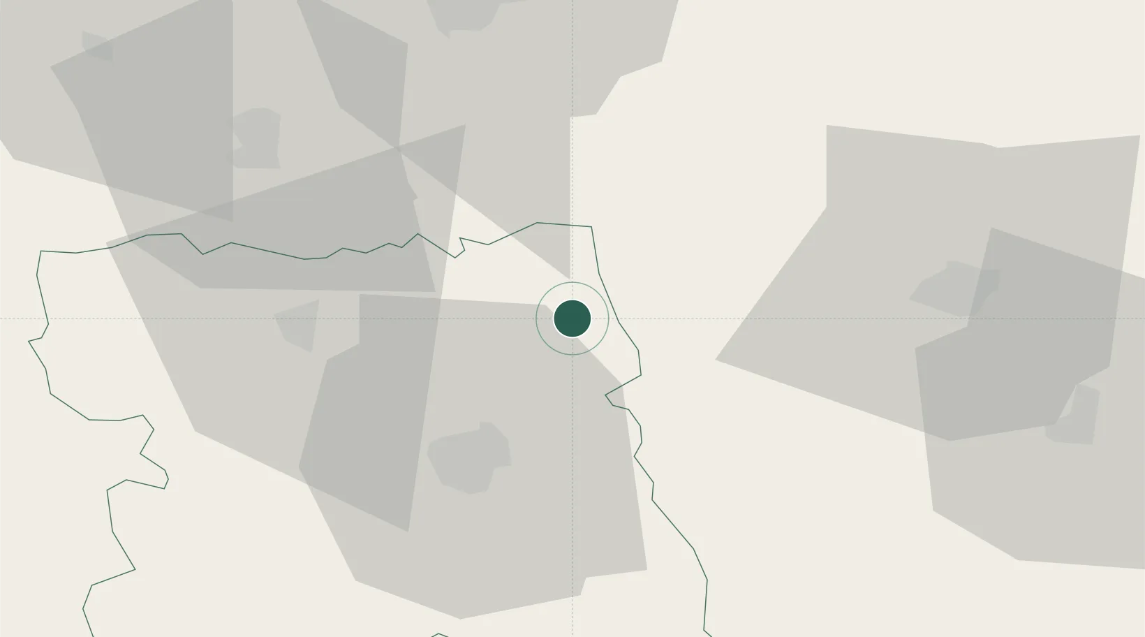
Place type
Populated place
Region
Stara Zagora
Population
2,889
Time zone
Europe/Sofia
Elevation
375 m
Location
Nearby Logistics Neighbours
Cities
- 1Tryavna33 km
- 2Dunavtsi40 km
- 3Dryanovo44 km
- 4Lyaskovets50 km
- 5Liaskovec68 km
Ports
- 1Burgas140 km
- 2Varna187 km
- 3Lagos191 km
- 4Alexandroupoli202 km
- 5Kavala223 km
Airports
- 1Bezmer Air Base51 km
- 2Gorna Oryahovitsa Airport56 km
- 3Graf Ignatievo Air Base96 km
- 4Plovdiv International Airport100 km
- 5Dolna Mitropoliya Air Base137 km
Trade Zones
DatabookThe Record of Consolidated Knowledge
Bulgaria beyond logistics?