Transport Functions
Port
Road
Hub Profile
Place type
Populated place
Region
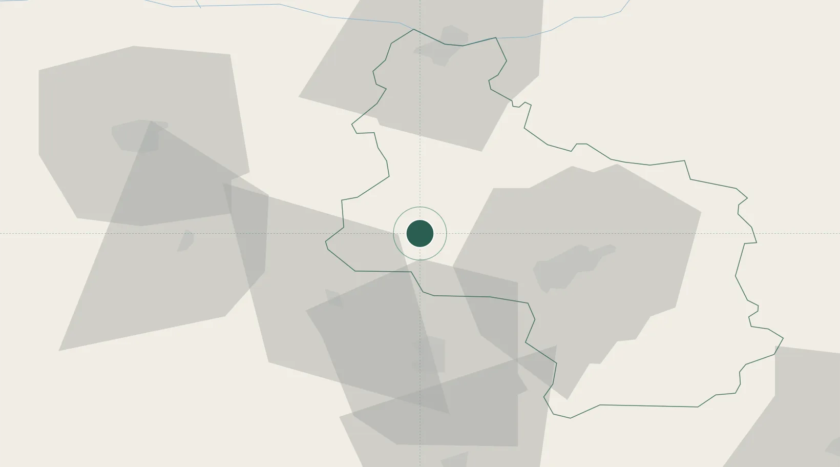
Veliko Tarnovo
Population
3,010
Time zone
Europe/Sofia
Elevation
105 m
Location
Nearby Logistics Neighbours
Cities
- 1Dryanovo28 km
- 2Lyaskovets36 km
- 3Tryavna41 km
- 4Svishtov47 km
- 5Vardim47 km
Ports
- 1Burgas195 km
- 2Varna216 km
- 3Lagos245 km
- 4Kavala263 km
- 5Alexandroupoli268 km
Airports
- 1Gorna Oryahovitsa Airport34 km
- 2Dolna Mitropoliya Air Base70 km
- 3Graf Ignatievo Air Base112 km
- 4Bezmer Air Base119 km
- 5Plovdiv International Airport131 km
Trade Zones
- 1Free Zone Giurgiu94 km
- 2Rousse Free Zone96 km
- 3Maritsa Industrial and Commercial Zone120 km
- 4Trakia Economic Zone124 km
- 5Kuklen Industrial and Commercial Zone136 km
DatabookThe Record of Consolidated Knowledge
Bulgaria beyond logistics?